Spain has glorious mountains and a huge number of tough and enthusiastic mountain walkers – that laid-back mañana attitude is really just for show. And with all these mountaineers come well-marked routes and networks of excellent mountain refuges.
In 2015, a colleague of Sarah’s – Spanish and a keen mountaineer – on hearing of our love of walking, recommended the Carros de Foc – or Chariots of Fire – a high level circuit in the Parc Nacional d’Aigüestortes i Estany de Sant Maurici just to the west of Andora in the Spanish Pyrenees . Its an amazing mountain region of high peaks dotted with lakes (over 200 of them), rivers and alpine meadows.

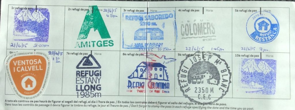
The circuit runs between 9 mountain refuge and the challenge is to walk the circuit and get a stamp at each. Its ‘only’ 65km, however the assent is 9,200m – so effectively walking up Everest from sea level – and in many places, the route crosses huge boulder fields and snow fields, and you just ‘freestyle’ between marker posts. Oh, and the prize for completing is a Carros de Foc t-shirt or cap.
The concept of the route came in 1987 when a group of rangers in the park decided to visit each of the huts on the circuit in less than 24 hours. If you do the route you will gain a new respect for these incredibly hardy mountain men (one of the Refuge wardens took off for a mountain run while we were there: deeply impressive! It gave us a feel for what it took to do the circuit in 24hrs!). It was made an official multi-day route in 1999 and was given the name Carros de Foc. And people still take on the 24 hour challenge!
The route is at a high level, averaging 2,400m with the huts at between 1,900m and 2,400m so, unless you are doing a winter expedition, it only opens in mid-June. We started early – so June 15th – and we encountered quite a lot of snow, but by the end of each day it was pretty soft. The weather was glorious – cool at night and warm in the day, though not oppressively hot so perfect high mountain walking weather.
The whole thing is incredibly well organised. You decide on your ‘entry point’ for the circuit, – so the town where you are going to park in and then access the circuit – plan your route and then call or email the central booking for the Carros de Foc and then they fix up all the huts for you. If you change en-route, so if you are going quicker or slower than expected, the huts will call ahead for you on their radio net.
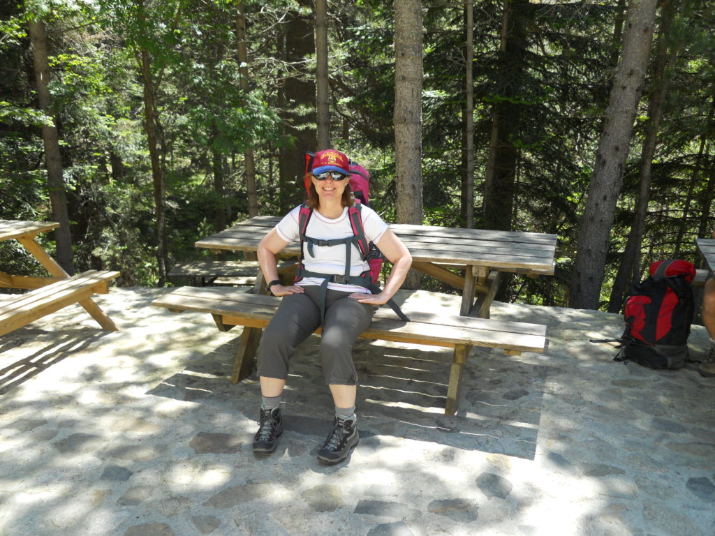
We chose Espot as our base as it has easier access to Barcelona. We left our car in the parking by the Taxis d’Espot office, which runs 4WD services in the mountains. From there we took a 4WD taxi up to the entrance to the park near the Estany de Sant Maurici – a beautiful mountain lake after which the National Park is named (Estany is Catalan for lake).
As you need to get your first and last stamp at the same hut, we chose to walk a short way back up our route to Refuge Ernest Mallafré, got our stamp and then head up to Refuge d’Amitges – some 7km and 550m of climb. Stunning views but a solid 2.5 hours steeply uphill, which brought home to us that this was not a trivial undertaking. Top tip: be really sure of your navigation to your first stamp point. Refuge Ernest Mallafre is in the woods and we took a couple of stabs to find it. I think at this point Sarah was losing confidence in my ability to navigate us around the Carros de Foc!
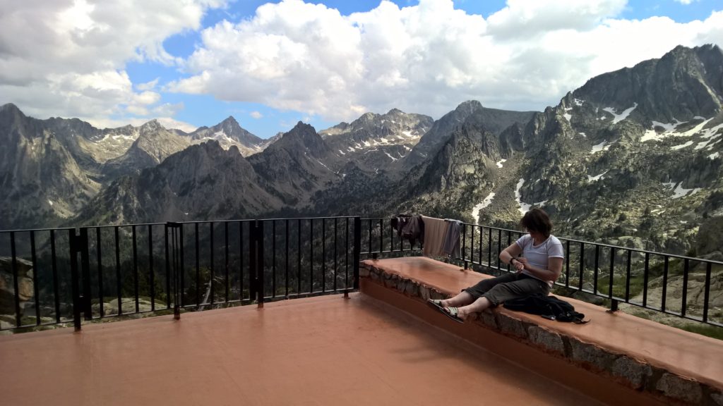
At Amitges we discovered the delights of Spanish mountain refuges. Remote, beautiful views, comfortable, great food and, even in those supplied by helicopter, beer and wine! However, as I’m sure seasoned hut-stayers will appreciate, do take your ear plugs!
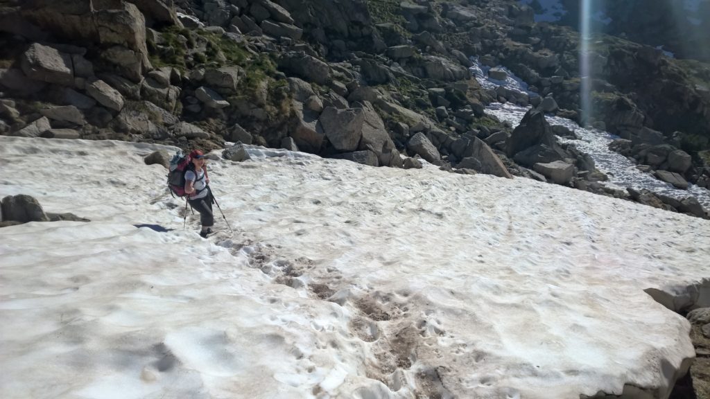
The next day we started off and were soon into snow. However, given well-tramped paths this proved to be no problem. We arrived at the first hut of the day, Refuge de Saboredo, one of the smallest refuge on the route – and all supplies brought in by mules. We got our stamp and then had an excellent coffee – an experience that seemed so out of place given the remote setting.
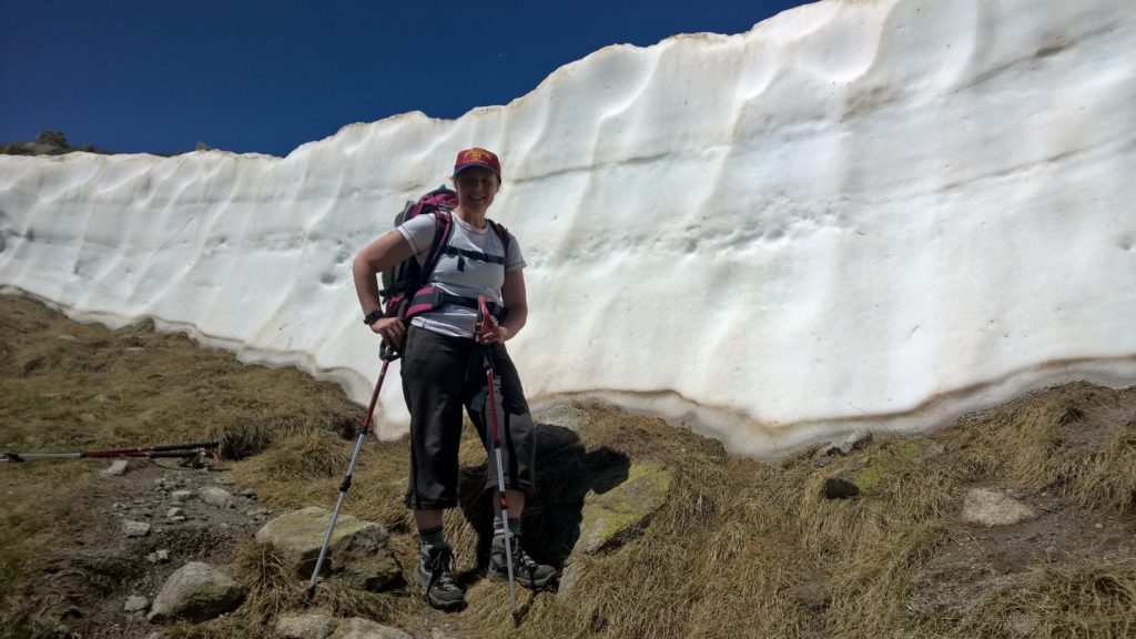
Heading on was one of the easier parts of the route, with good paths over parstures and scrubland. There was one point where we pulled up steeply to a snow wall, which looked pretty intimedating. Luckily once we got to it, you could traverse around and over. Then a drop down through scrub – keep an eye on the navigation here – to the reservoir, and then accross the damb wall to the Refuge de Colomèrs, where we had planned to stay the night.
We had made much better time than we expected and so were arrived in time for a late lunch. Colomers seems a bit of a blockhouse compared with many of the other refuge so, having been energised by our lunch, we decided to go on to the next refuge, Restanca, which the guidebook said was 4 hours away. The team at Colomers called ahead and there was space, so off we went.
And things then got a bit adventurous. Firstly, we started to get into steeper terrain, there were much deeper and steeper snow fields and finally, a thunderstorm rolled in when we were very exposed. Oh, and it’s worth keeping in mind that the huts serve dinner at 7pm sharp. I’m not sure if it was the thunder and lightning or the threat of no dinner, but we managed to do the last part of the route in record time, just arriving at the refuge before a massive downpour of rain! Overall that day was 18.3km with 844m climb and 1,230m descent and we were on the route for some 11 hours.
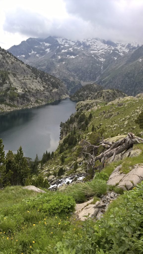
The next day was much easier as we walked from Restanca to Refuge Joan Ventosa I Calvell which takes some 3.5 hours, so we were able to give the legs a rest and enjoy the stunning mountain scenery. We also got a chance to spend a bit more time with our fellow walkers at the refuge.
One of the striking things was actually how quiet it was on the route. During the 6 days, we only passed a couple of parties coming the other way and only saw other groups in the distance. We did start to see familiar faces at the huts in the evening: a large group of French, who kindly explained the protocol of competitive shower-queuing…and then let us go first. And a Canadian couple: he a tall lean quiet man who was in the Oregon Snow Patrol back home, she a lifetime mountaineer and winter camper, now with damaged knees so walking with two crutches. He carrying the gear for them both, she with a bright buzzing personality that completely eclipsed her physical challenges. Oh, and he providing the lifesaving duct-tape to resolve Sarah’s insole issue, which had caused serious blisters on the soles of her feet on the big day earlier. Top-tip: wrap a load of duct tape around your water bottle!
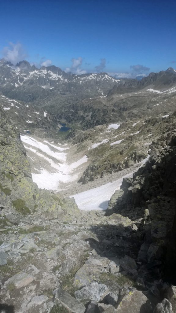
From this point on, the route becomes increasingly rough with boulder fields, snow fields and high cols. It does seem that the North Side of the route has slightly easier terrain then the South.
Having said that, it is also increasingly spectacular and there is no doubt that it is one of the most beautiful mountain circuits.
Day 4 took us from Ventosa I Calvell to Refuge d’Estany Llong. This was one of the toughest days. At 9.5km and 620m of climb it was not the longest or greatest ascent of the days however, the climb of 520m from the refuge to the Collet de Contraix – at 2,749m the high point of the route – has sustained navigation over boulder fields and snow fields with a very steep pull up to the collet at the end. You need to keep an eye on your footing as it can get loose as the day warms.
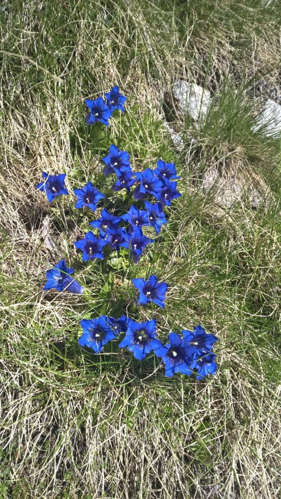
In compensation, it’s a wonderful place to be and the views are spectacular. And as you drop down to Refuge d’Estany Llong you pass through high mountain pastures and beautiful woods and streams, with lovely mountain flowers.
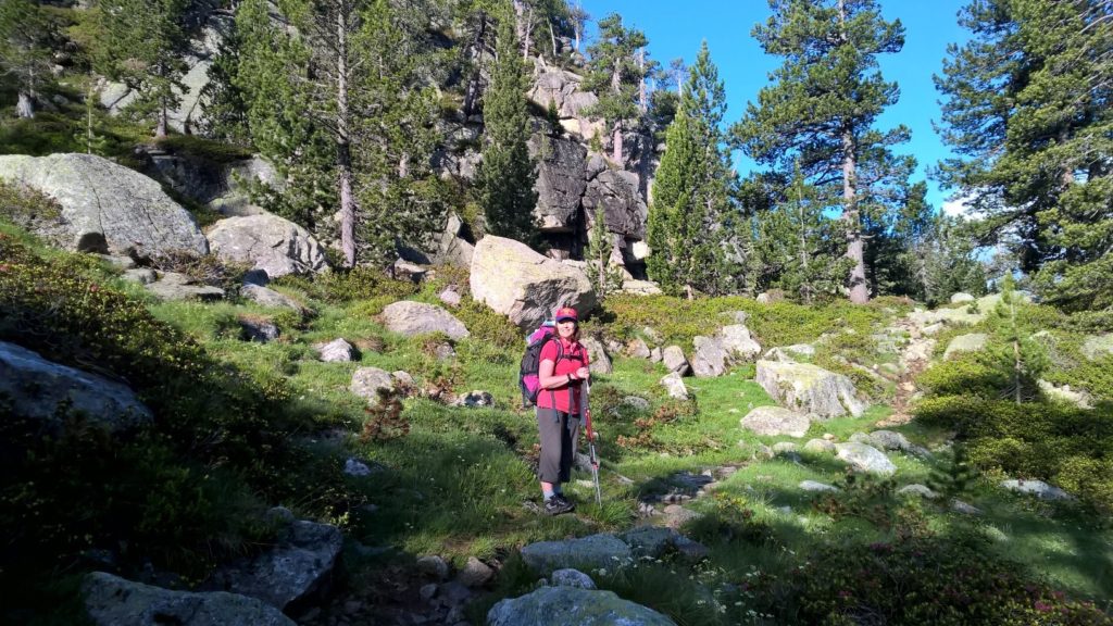
The Refuge itself is tucked in the woods at the end of the mountain lake Estany Llong, and feels increadibly tranquil. With the growing companionship of others on the route, it made for a great evening.
Day 5 took us to Refuge de la Colomina via Colladeta de Dellui (2,577m). It starts as the day before ended, with lovely paths through Alpine woodland, but it does not take long before you are above the tree line and back onto sustained boulder fields.
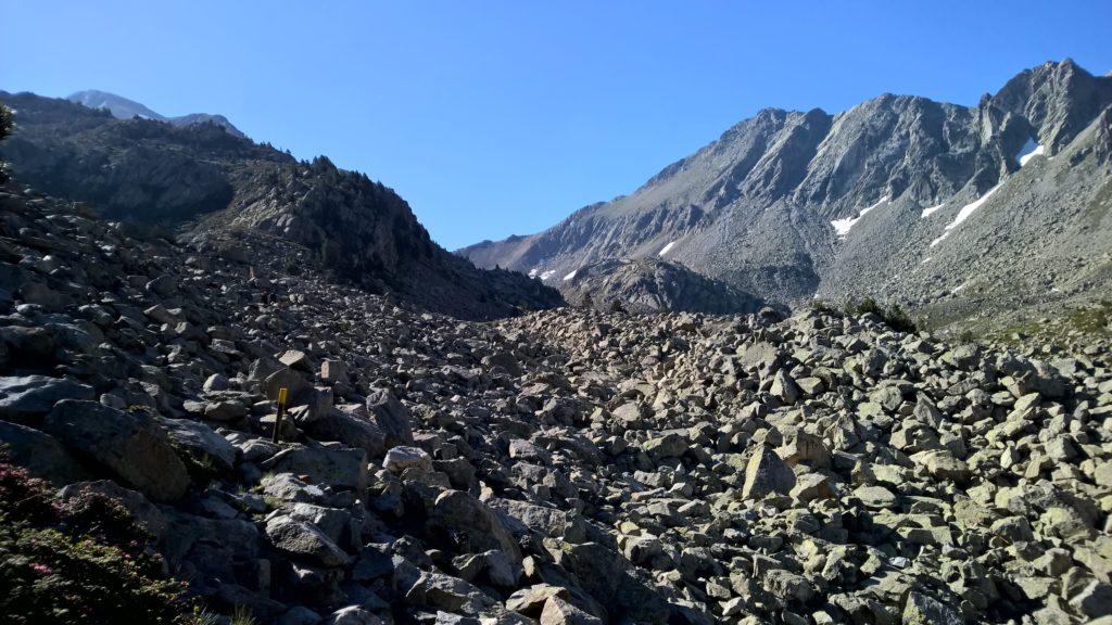
There is no other way through than to look out for the next marker post and steadily navigate your way towards it. Optimising your route almost feels like working out a puzzel – but with a lot of balancing and exertion thrown in.
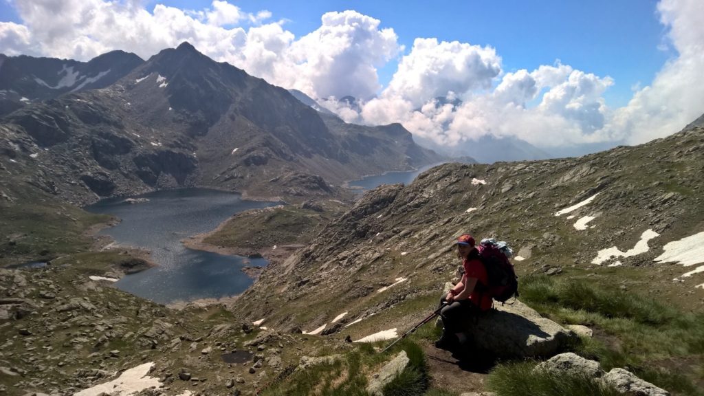
Having crossed the Colladeta de Dellui, you drop down into an area of lakes around the Pic de Tort. From the Colladeta you can look down the valley and see your route almost to the final pull up to the Refuge Colomina at the far end of Estany Tort. You cross a series of small levvies and dams which illustrate how this mountain water has been used for small hydro and storage schemes.
Overall this day is a 12.25km with 600m climb and it was good to crest the final slope and see the refuge ahead of us.
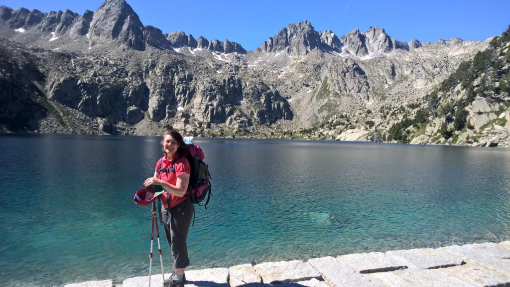
Day 6 felt like the home straight however, it was still pretty heavy going. The route navigated around a series of lakes before crossing the Collada de Capadella o ‘de Saburó and then dropping down, past the magnificent Estany Negre de Paguera to the Refuge Joseph M Blanc – probably the most spectacular refuge location on a wooded promontory on the Estany Tort de Peguera.
We were now into the final streatch and it felt like we were just focusing on getting the route done. Still spectacular, glorious weather, but now every little tendon twinge was making it presence known and the tweaks in the muscles from steep and sustained downhill streatches were starting to shout. And in fact this stretch back to Refuge Ernest Mallafre has the largest descent of any stage in the route, just in case you legs thought the trip was over!
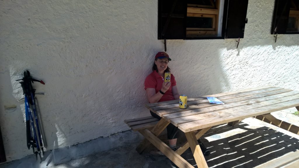
We had booked to stay at this Refuge on our final night however, for us it seemed the least appealing of the Refuge, so we decided to walk on to the roadhead and take a 4WD taxi into town and find a hotel. Definitely a good call and we managed to book into Hotel Saurat , one of the best hotels in Espot.
It was very welcoming – and the showers were magnificent. It was only after we had cleaned up and changed into clean clothes we that started to question a rather pervasive smell in the room. We then realised just how rank our kit was – one of the risks of travelling light.
We had a lovely evening out in Espot and although the food and drink at the refuges was excellent and sustaining, it was fantsatic to sit out in the beautiful evening light and enjoy a fantastic meal and some great wine – tasting all the better at the end of all that exercise.
Although pretty exhausted by the end, it was a hugely uplifting experience. The sustained grandeur and beauty of the place combined with pushing yourself hard at higher altitude, really created an amazing physical and psychological experience. This is the hardest route we have done but will always go down as one of our favorites.
We drove back to Barcelona the next day and treated ourself to a luxury hotel in the central district. A mistake! Having had 6 days of almost total isolation, strenuous exercise and panoramic views of mountains, the mass of tourists crushed together in narrow, noisy streets was almost overwhelming: we would definitely find a different way to decompress next time.
The route has no special markings and although the paths are mostly clear, we definitely had times when I was glad I had researched the route and so had a good idea of way points to look out for. If the weather comes in you want to be confident of your navigation – these are serious mountains. The map we used was the Editorial Alpina ‘Travessa del Parc Nacional d’Aigüestortes i Estany de Sant Maurici Carros de Foc‘ (I’m a fan of the Editorial Alpina maps if you are walking in Spain). All the names for the refuge, lakes and cols are taken from this and do differ in spelling from google maps, but not enough to impact navigation. I sourced my copy of this map from Stamfords. As well as an excellent map, it also has a separate booklet with details of each refuge and a brief outline on the stages. Don’t rely on maps on your phone as coverage is iffy.
Part of the fun for me was exploring the route and planning the stages. Having said that it’s very hard to estimate your pace over boulder and snow fields. My advice would be ‘don’t be heroic’ on the spreadsheet when you are sitting at home. I note that the official website offers to advise on your route planning, so if you have any doubts, talk to them.
A couple of things that might help on the route.
Take walking poles. Before this walk we had not used poles, but crossing boulder fields with full packs would have been exhausting and potentially dangerous without them. With poles, they are really manageable. So glad we took them and we are now total converts for mountain walks. We use Robens which have a good ‘twist and fix’ telescopic system and collapse neatly to fit into your rucksack for the flight while remaining a good balance of light weight and robustness.
Try and keep your pack weight + water to under 8kg – not only does this save energy but also a heavier load would really throw you off balance on the boulders and snow. Sarah goes to extremes and cuts the handle off her toothbrush. For me, its getting the lightest weight wicking layers and waterproofs and then finding something that will keep you cosy at the refuge in the cool evenings. Having said that, getting to this weight does demand choices as you do need to carry 1-2 litres of water – unless you take filtration systems, as there is lots of water around.
Do throw in a lightweight waterproof rucksack cover in an outside pocket of your pack; if a thunderstorm rolls in, you want to get kitted up fast and get moving. Its worth every gram of weight.
If you are not used to crampons, you are probably more at risk of spiking your legs then falling or slipping on the snow. But you do need something unless you are at the end of the summer. I would recommend micro-spikes and we used Kahtoola Microspikes which only weigh 360g and pack up really small in your pack. We were lucky and most of the time the snow fields were soft enough to kick steps but it was clear that 1-2c lower temp and we would need them all the time. A good learning point was – if it looks very steep, put them on. Once you are committed, its very hard to put on spikes on steep ice.
It’s worth having a length of very lightweight rope and a couple of carabiners just in case. There is no climbing but if someone feels uncertain at any point, it’s a good confidence boost.
