Spain had never been a place we considered as a walking destination. I guess we had always associated it with massed tourists lying on beaches, city visits or business trips – not top of our holiday aspirations.
That was to change in 2011 when we read an article that mentioned great walking in the Picos de Europa. Not a place we had even heard of and I was somewhat surprised when a colleague at work, on hearing of our proposed destination, waxed lyrical about the region. How had we missed such a gem?
Being Spain newbies, we booked up through Totally Spain where they recommended a short stay in Bilbao, walking in the Picos, a visit to the coasts around Ribadsdella and finally a couple of days in Rioja to finish.
So, off we set with almost no expectations. And the first surprise was landing at Bilbao airport – where looking out at the hills, lush fields and woods, and almost Alpine style houses you would be forgiven for thinking you had got on the wrong flight. And perhaps that’s the thing, you are really in the Basque country, which definitely has a unique and different feel to the rest of Spain.
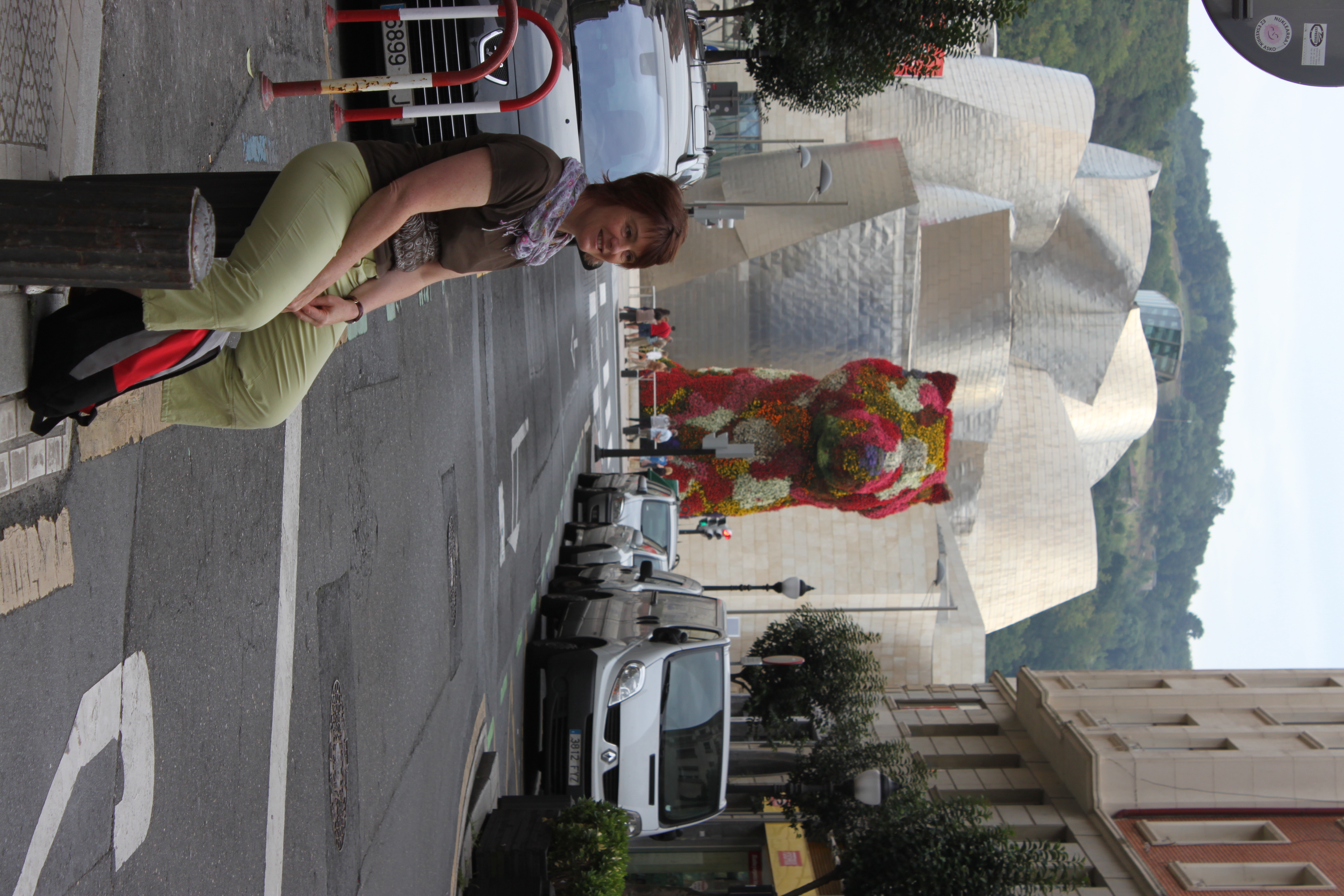
Bilbao is an amazing city – it is gritty in the way of an intensely industrial and port city, but at the same time has amazing culture from both its history and the Guggenheim Museum, which is quite an astonishing building designed by Frank Gehry, and a ‘must’ to visit in the city. Do take a look at some of the amazing steel sculptures – appropriate as Bilbao is a steel town – which you can walk through (one was so convoluted it made my wife feel sea- sick!). If you visit Rioja you can see another amazing Frank Gehry designed building at the Bodega Maquis de Riscal – I prefer the Guggenheim. I’ve given links to this on my piece on visiting Rioja.
The food is amazing too, and you cannot visit the city without partaking of Pintxos (pronounced pinch-os). Now if you have not heard of this, it’s tapas on steroids. The strategy is to wander around the bars all of which seem to compete to put the tastiest collations together. You buy a drink and chose a selection of Pintxos, and when it’s time to pay, somehow they manage to have kept the score.
One of our abiding memories was on 14th October 2012, sitting in a bar in Bilbao watching Felix Baumgartner freefall from more than 24 miles above the earth. The crowd in the bar we were in was fixated on the huge screens broadcasting the jump – but it did not stop us all from consuming large amounts of Pintxos and the local white Albariño wine.
The place to look for is the old town – Solokoetxe (you’ll get used to the Basque spelling in time – harder to pronounce). It’s across the Areatzako Zubia from the train station.
You can get great views of the town from Artxandako, either walk up the hill -or take the funicular – on the other side of the river.
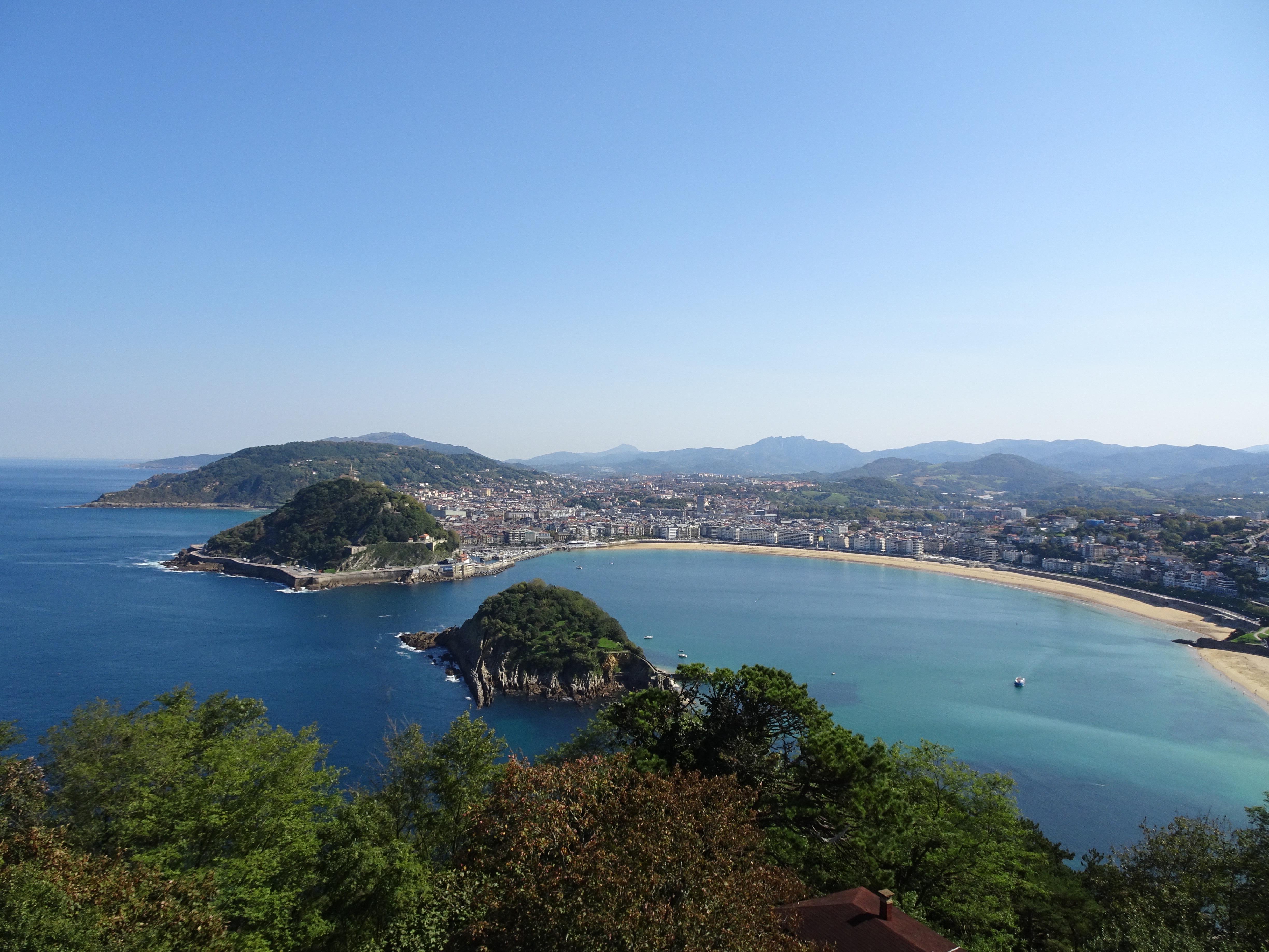
Some people hold out San Sebastian – just up the coast – as the best place for food and Pinxtos. I’d put Bilbao ahead except for one thing. The burnt cheeses cake from La Vina in the Old Town. This really is the most amazing pudding and, when my daughter chose to have her wedding cake made up of cheesecakes made by her closest friends and family, this is the one I made (here’s a link to the recipe from Javier De La Hormaza that I use).
Anyway, after all the great food in Bilbao you really do need a good hike to walk it off. So, without further ado, let’s get off to the Picos.
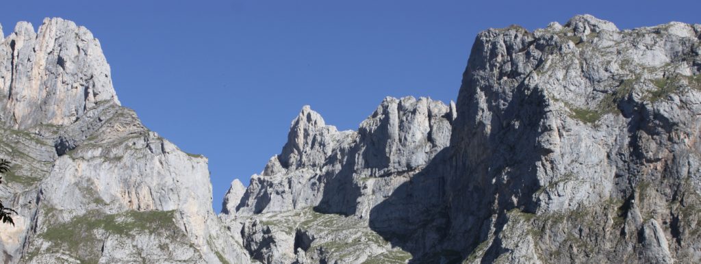
These are the most amazing mountains which are some 15km in from the Atlantic and run some 20km east to west. Peaking out at 2,650m, this is an impressive range. With the prevailing westerly winds finding this their first port of call after crossing the Atlantic, this part of Spain is very green – and can be wet – however the amazing thing is that on the highest points, it’s like a moonscape.
We first based ourselves at Fuente Dé. This is a tiny hamlet tucked right up in the mountains. There are a couple of hotels – including a Parador where we stayed – and the cable car that takes you 750m up from the valley floor into the mountains. (If you haven’t come across the Spanish Paradores hotels, do take a look at the link. They are state-run and many are in the most extraordinary locations – such as right in the Alhambra in Granada)
The valleys around here are stunning with beech woods and high pastures (well known for strong Valdeon cheese) – and beautiful walking. However the tops are extraordinary: barren and bare rockscape interspersed with remote vegas – high pastures where the dips in the land have filled with soil.
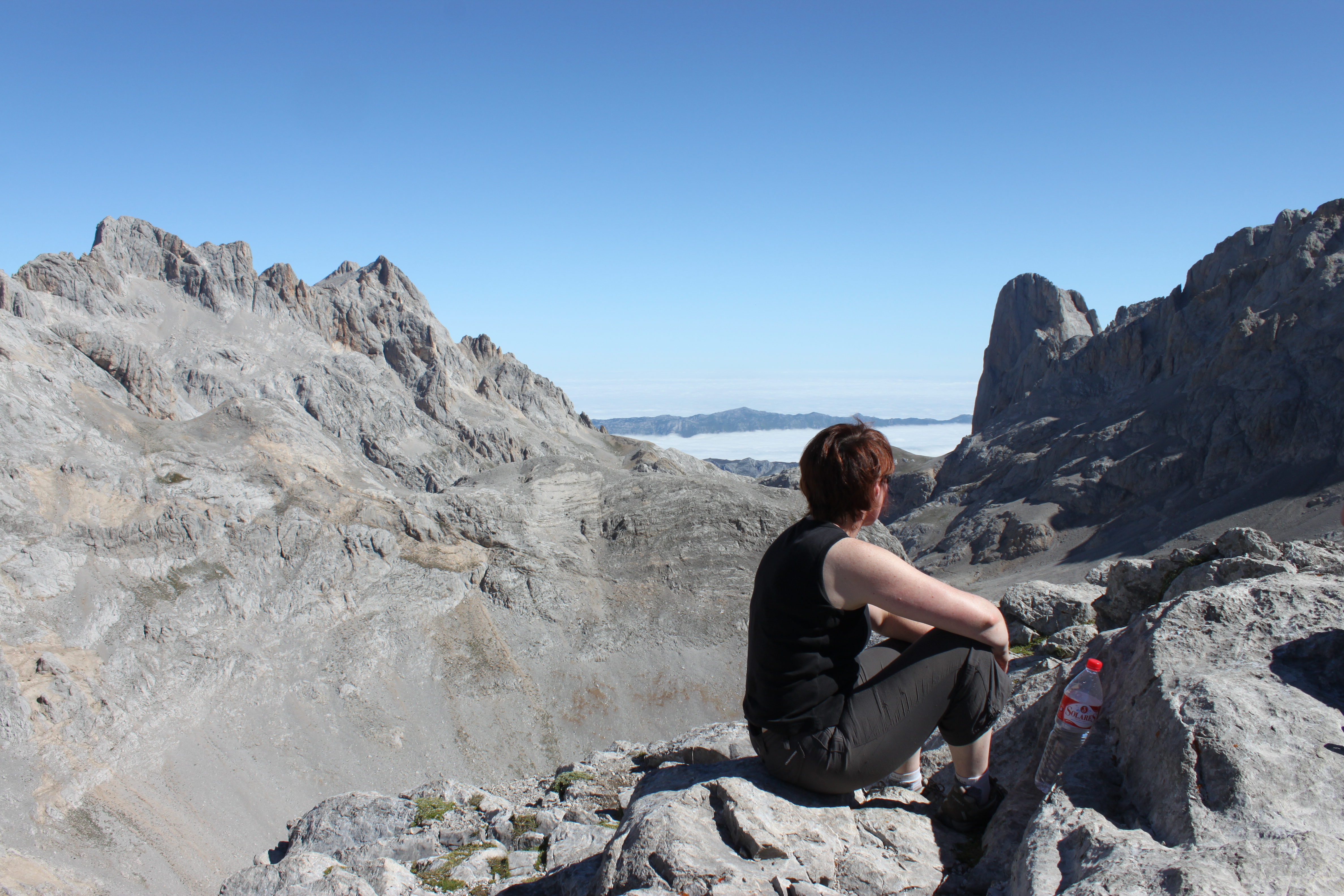
On the first day we took the cable car and from the top walked up the route PR23 to a coll just below the Torren de los Horrcados Rojos. Here there are magnificent views down towards Picu Urriellu and beyond towards the Atlantic coast. The path is good most of the way, though does become rough as you approach the coll.
Here we turned back and retraced our route towards the top of the cable car and, just short of it, took the PR22/24 – a good track – down the back of the mountain and past an amazing house called the Chalet Real. This is a fascinating building: it was built by the Royal Asturian Mining Co to accommodate King Alfonso XIII to hunt chamois for a few days in September 1912. It was prefabricated in England and assembled here. It was last used for Royal hunting in 1926 but has stood the test of time and weather exceptionally well.
From here, we dropped down through open pastures and past a remote Mountain Refuge-hotel Alvia (great place for a cold drink) on the PR22/24 path. This broad track heads south and then passed through the cliffs. At this point a path – PR24 – heads off along the side of the valley through the beautifully cool beech woods back to Fuente De. Quite a wonderful introduction to walking in the Picos taking in bare mountains, high pastures and beautiful woods.
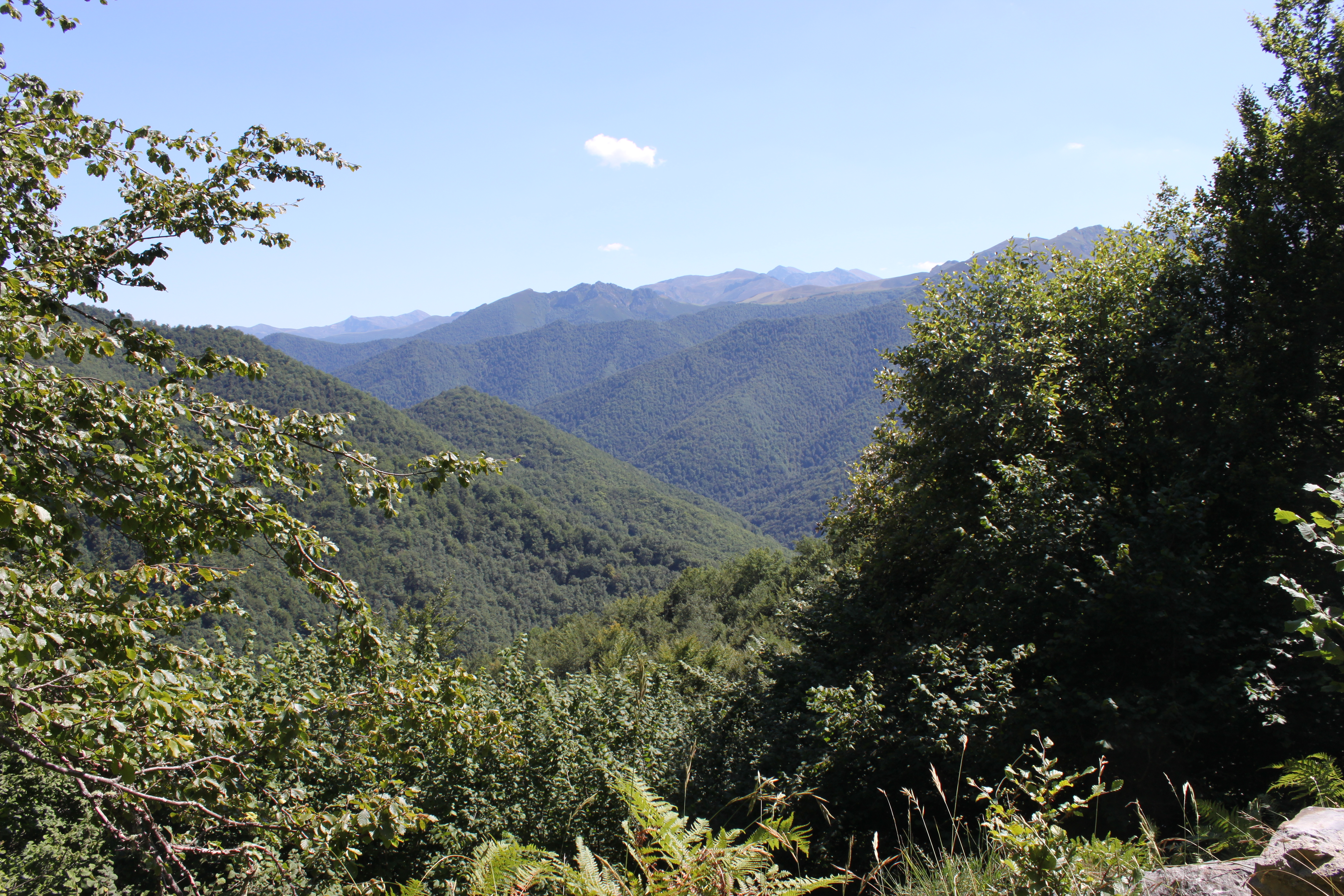
On our final day of this trip, we walked up a track on the far side of the valley, right past the cable car station. We were soon passing through light mist and up into higher pastures. We reached a point where the PR25 headed away from the trackway we were on and over a meadow into the deeper mist. We thought we would turn back when a passing walker pointed out a route up through the cliffs and eulogised about the views from the vega at the top.
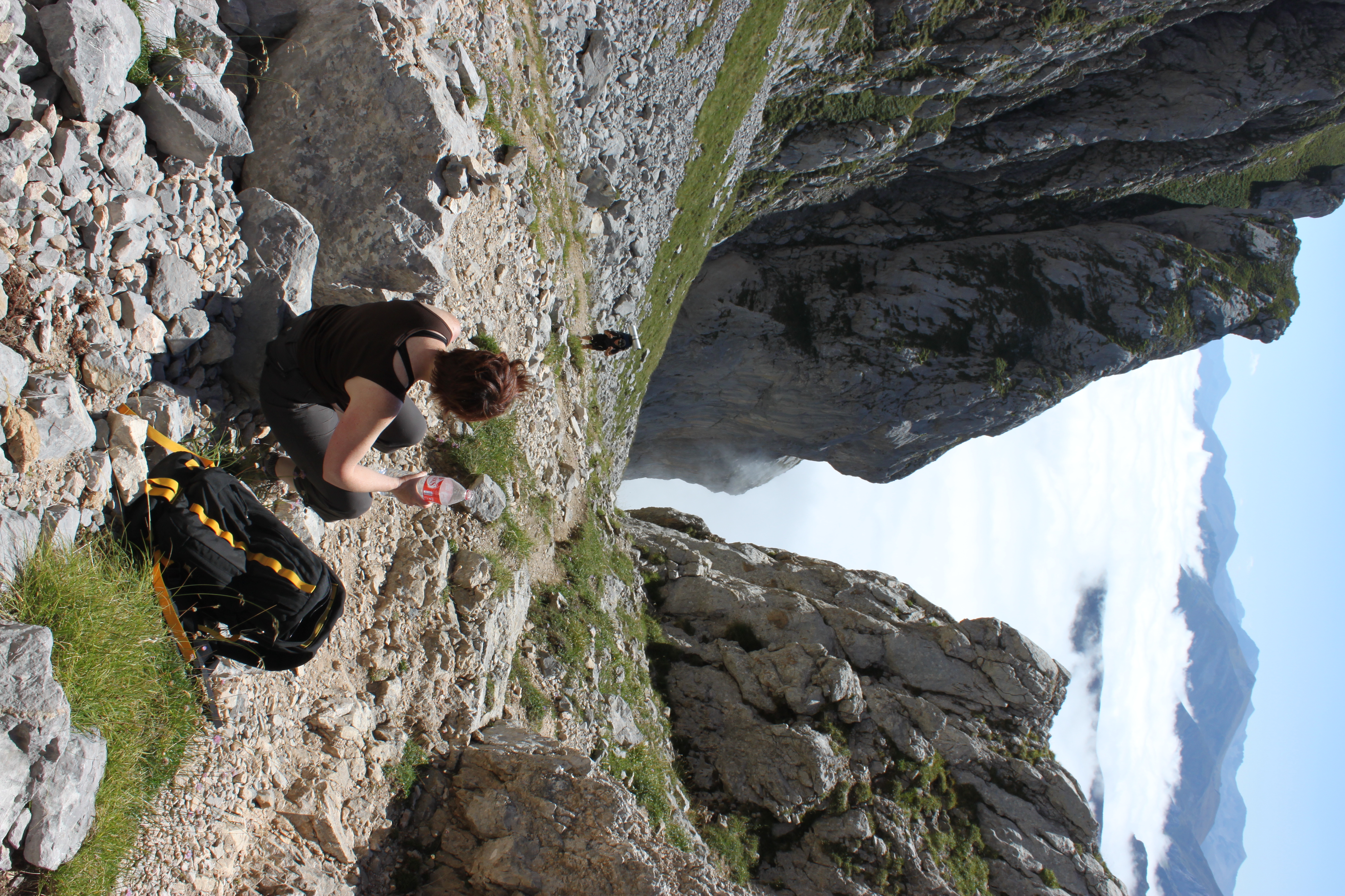
The climb up the Cannal de Pedabejo was steep and through the mist but we broke through near the top and it was quite magnificent. Behind were amazing views of the mountains to the South, and ahead lay the Vega de Liordes, surrounded by the high mountains of the Picos.
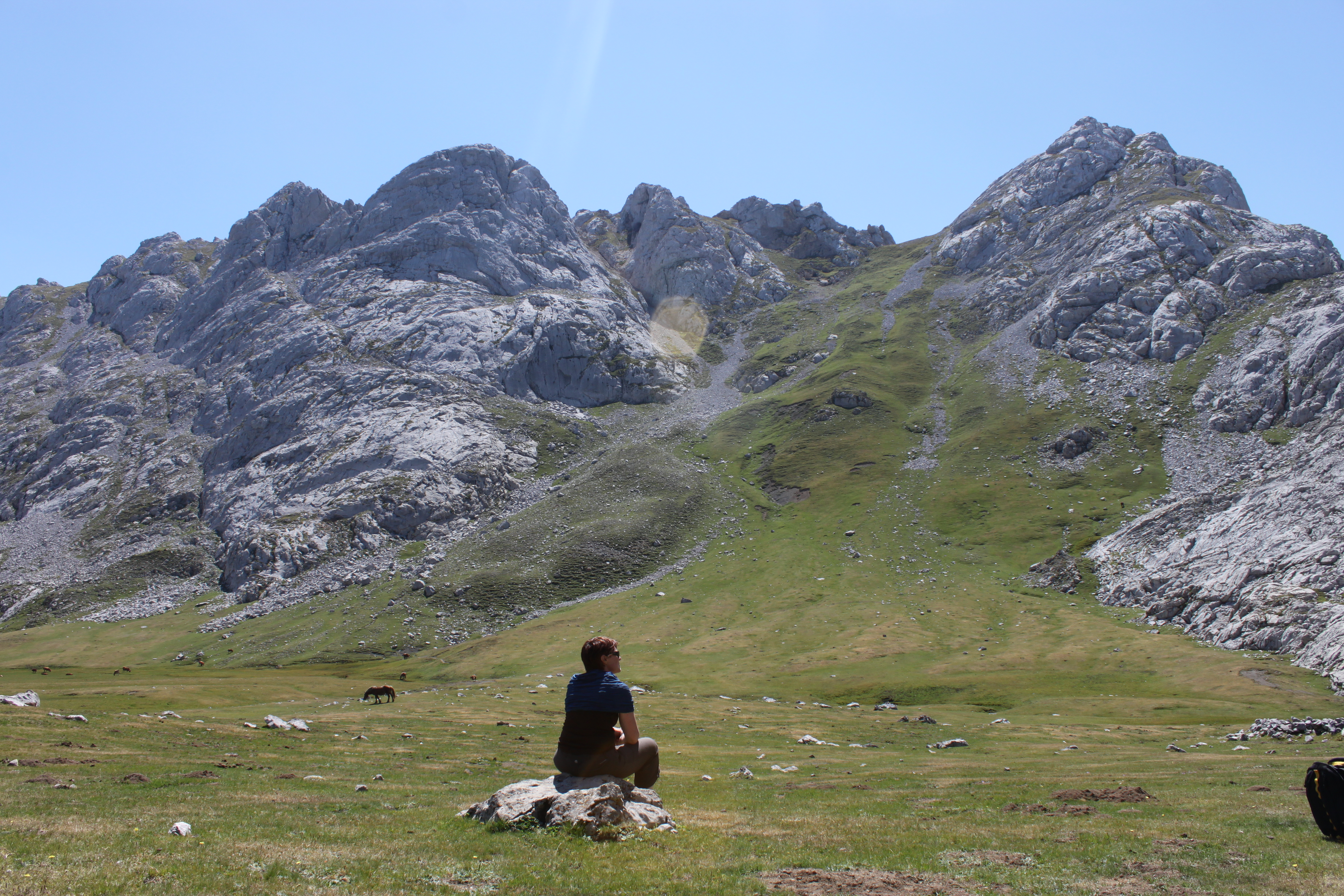
We followed the D25 out through the eastern exit of the Vega down the old mining track. The valley was filled with mist giving the most extraordinary views. We were soon heading steeply down on a zigzag path over the scree: the miners who came up this path must have been made of tough stuff. Occasionally we would hear a rattle of stones and a Spanish mountain runner would go haring down past us into the mist.
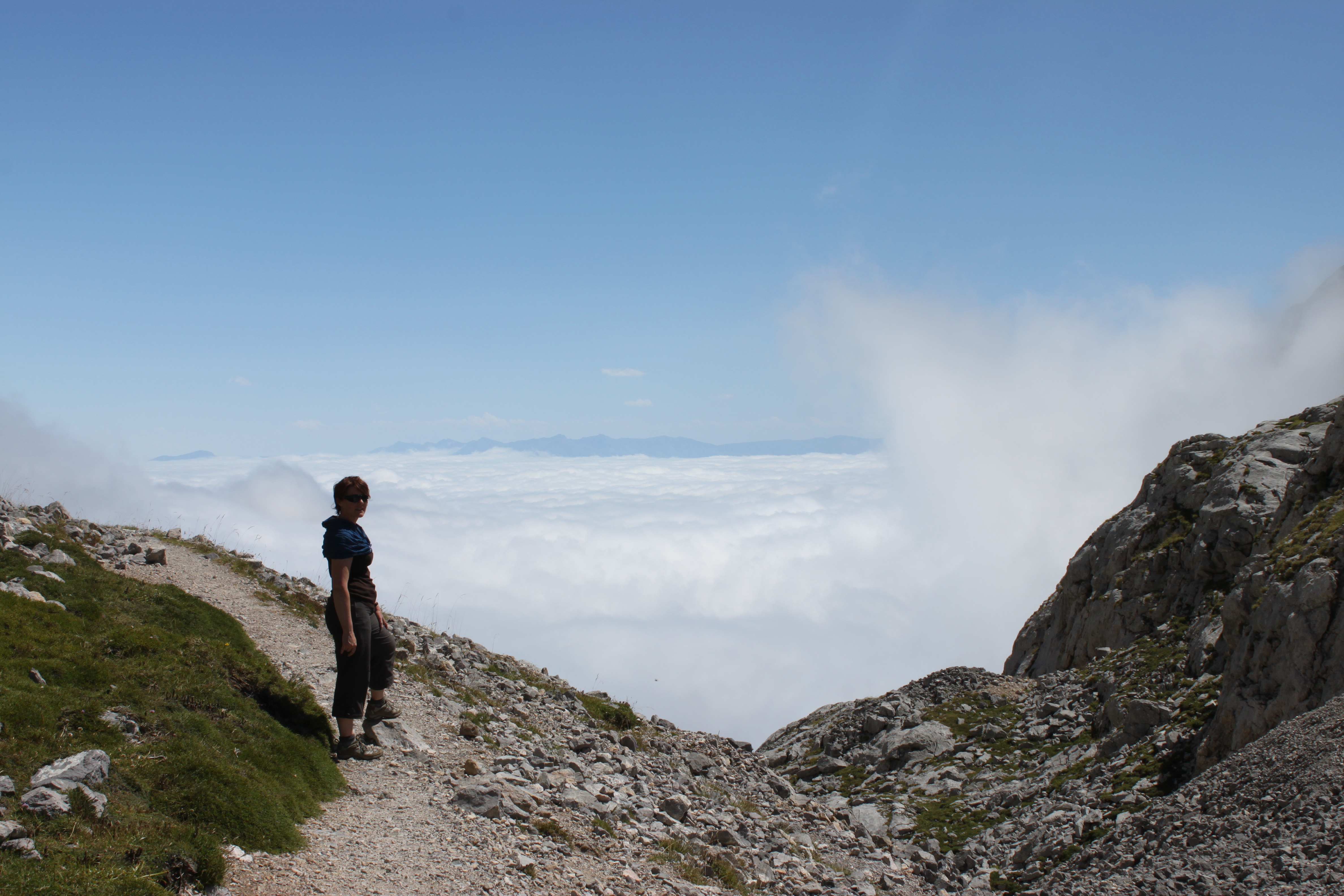
It was only when we were having a drink at the bottom and the mist burnt away in the sun that we realised quite what a precipitous path we had been down.
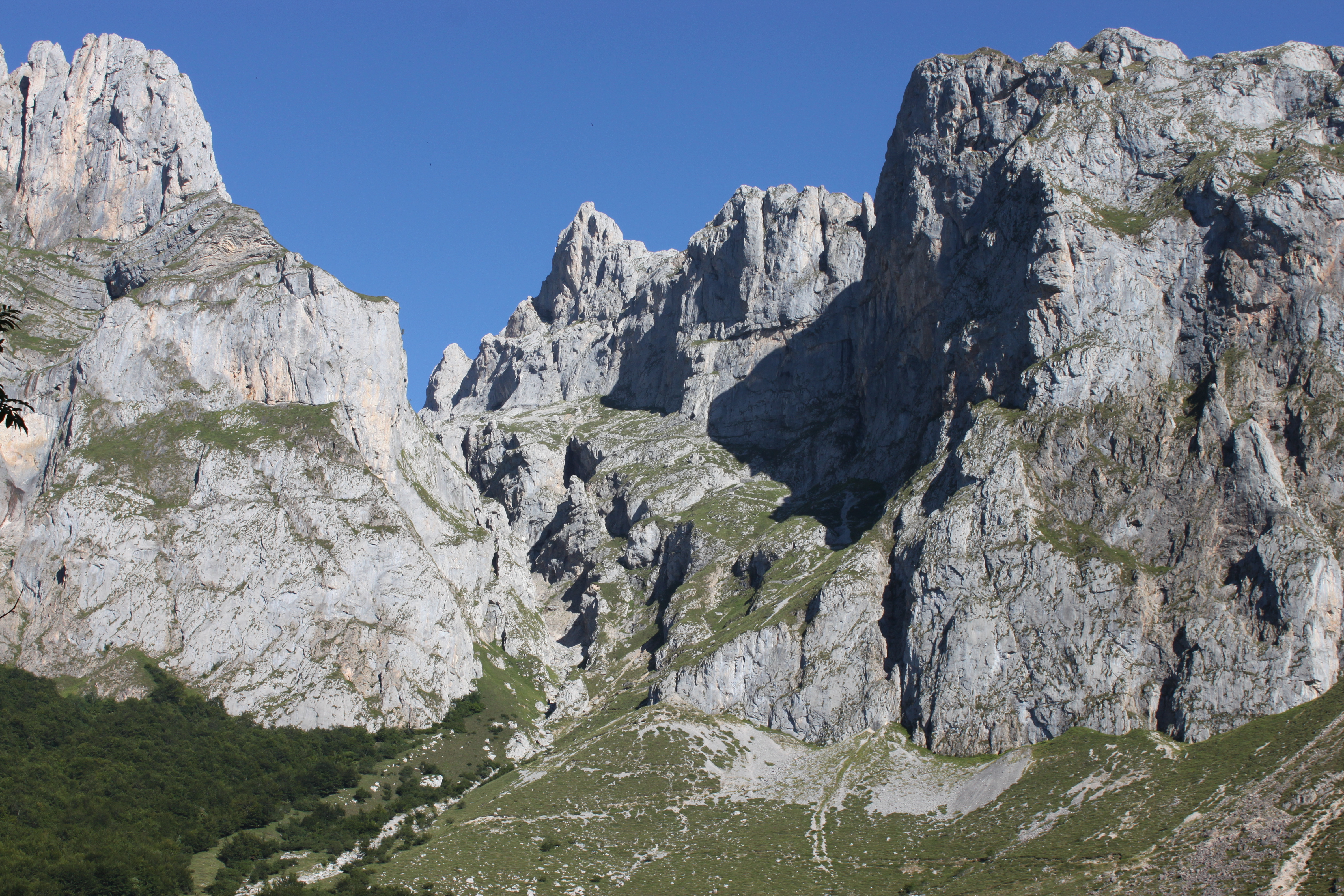
On another day we did a loop around a deserted valley. We attempted a cut-through which appeared easy on the map but turned out to be a very steep cross-country route. After a final traverse across a bare rock face, we picked up a path heading back to where we had started. I guess no one approached this path from the direction we had come as, around a corner, strode a man with two dogs – and he was totally naked! I guess he spotted us fractionally quicker than we clocked him as in a flash he was striding away down the valley – never to be seen again. We had to admire his resilience as, not only was it baking hot in the sun but all the plants at that altitude and dryness are very spikey!
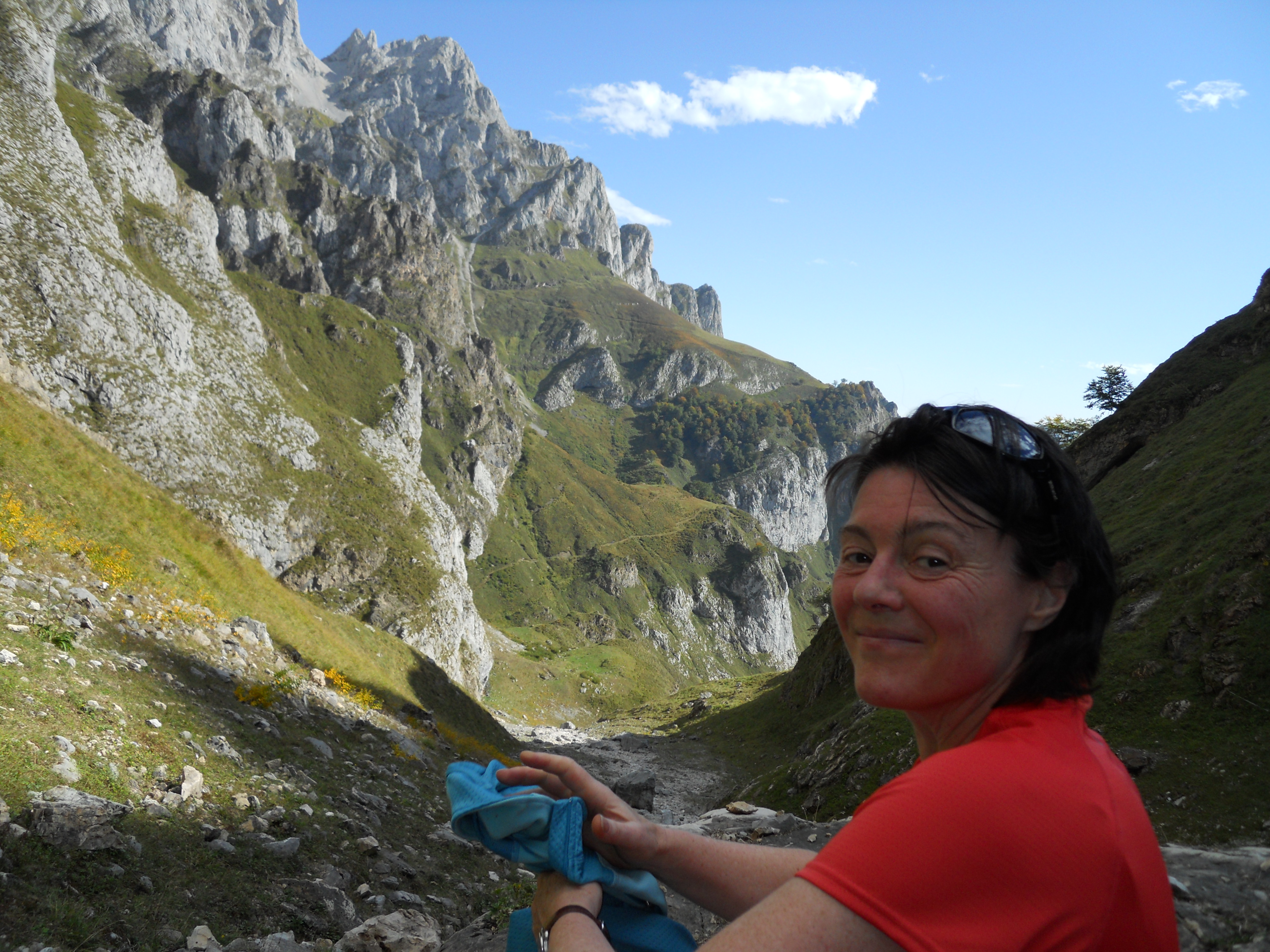
Another great walk we have done in the Picos is the Garganta del Cares. This walk follows the path built by the water engineers back between 1916 and 1920 and follows the aquifer that has diverted part of the Rio Cares for a hydro station at Pte Poncobos. It runs along the side of a 1,700m deep canyon with the peaks of the Picos towering above. Although steep at the start, much of the route is quite flat and there are magnificent views up into the mountains. It’s also quite cool if you are walking in warmer weather.
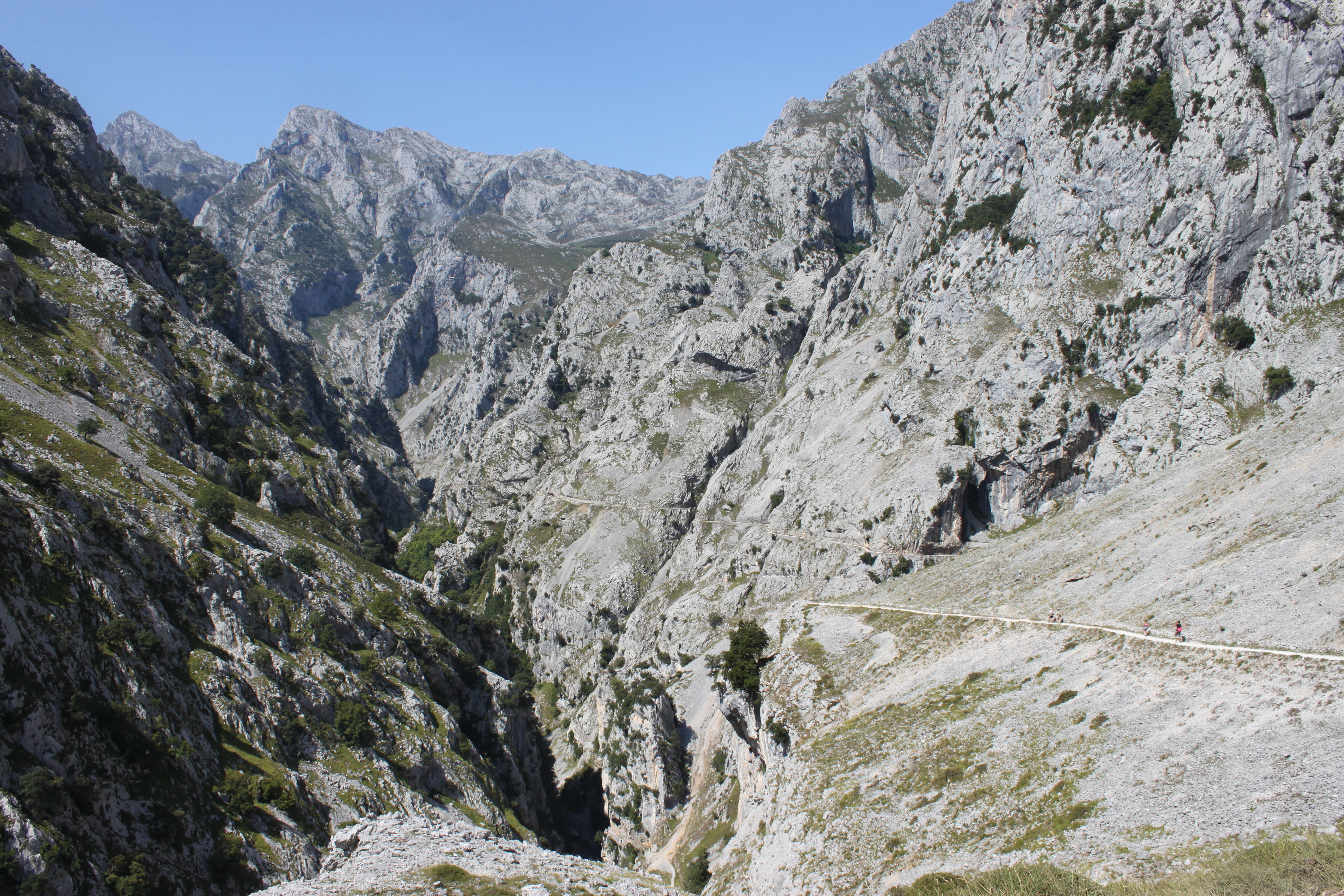
Although an amazing experience, if you are nervous about heights, I would not recommend this as the path has steep drop-aways and no handrails. The rule of the track is to pass to the right of the oncoming walker. On the way up the gorge, this has you passing on the side with the cliff wall for comfort however, on the way down, you are on the drop side, which can be unnerving.
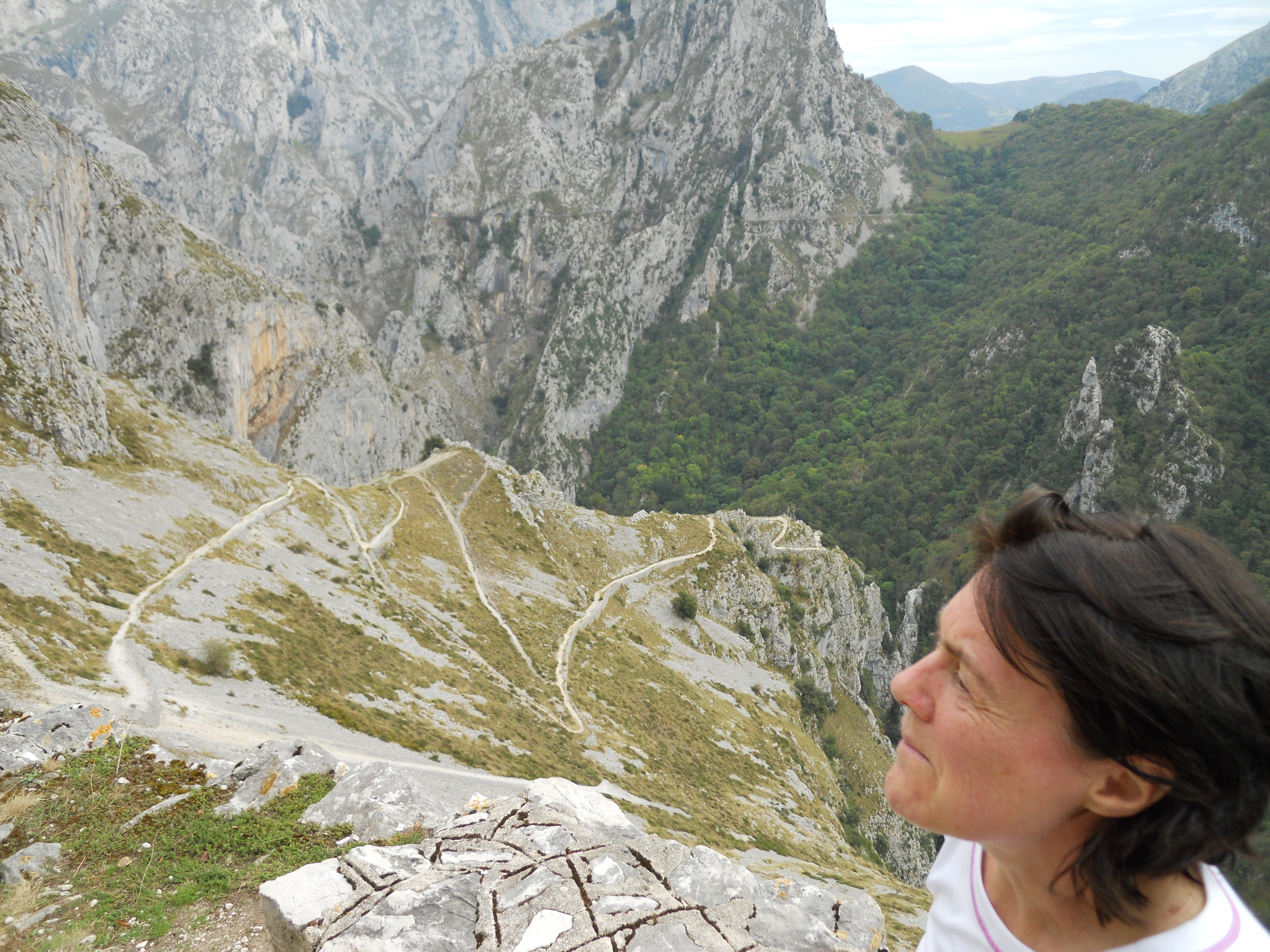
It’s 15km from Poncobos to Cain – with a steep pull up from Poncebos. It’s worth doing it as a round trip and the 30km there and back takes about 6 hours with the opportunity to stop for a drink and lunch at Cain.
There are a couple of other good walks out from near Poncebos. The first is a trackway that starts by the hydropower station and heads up to Camarmeña and on past various viewpoints looking out over the Rio Cares to the Picos on the other side.
The other longer walk is to the mountain village of Bulnes. You start at the same car park as for the Garganta but you head up the GR202 / PR18/19 on the other side of the river. The path follows a beautiful valley and near the top you get lovely views up to the Picu Uriellu. Bulnes is a lovely place to stop for a drink and something to eat before heading back down. Now, if you are not feeling like walking, there is an underground funicular railway that runs from Poncebos to Bulnes. I’ve never quite worked out why the huge investment was made in this but someone clearly made a fantastic pitch to the government!
When walking the gorge and other routes on this side of the Picos range, we stayed in Las Arenas at the Hotel Picos de Europa, which was a great location with a good local restaurant the Santelmo (on the right hand side as you cross the bridge by the hotel), and a great sports equipment shop Cendon Outdoor – a great place to stock up on kit and where I first came across the excellent Spanish mountain equipment brand TrangoWorld.
We have only scratched the surface of the Picos and there is a lifetime of short and long-distance walks to explore as well as outstanding rock climbing. Cicerone have published a walks and climbing guide to the Picos. I’m a big fan of their guidebooks however I find the one on the Picos to be a better climbing guide than a walks guide. The maps we use for the Picos are from Editorial Alpina which is a 2 map pack covering central & east and west ranges at 1:40,000. All the route numbers referenced in this post are based on these maps.
For a larger scale ‘touring’ map, I like the Adrados Ediciones Picos de Europa 1:80,000. This link is to Stamfords: and despite being able to get so many maps online, there is nothing better than a browse through their amazing store near Covent Garden.
Finally, if you just want some great car or motorbike touring roads, the Picos is fantastic for that too – and it’s just a hop, skip and a jump from the ferry between Portsmouth and Santander.