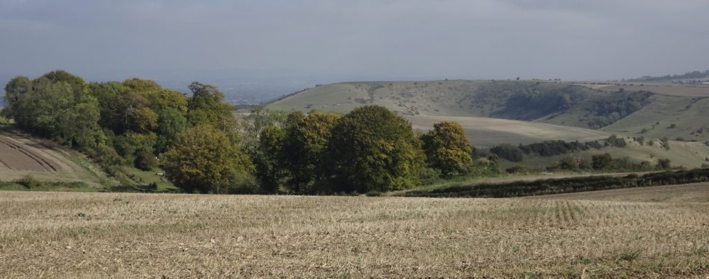
For a number of years I used to stop for a run on my way home from work. My commute took me down the side of Salisbury Plain on the A36 and a diversion of just a couple of hundred meters led to a place where a beautiful byway led up onto the hills above Warminster. It was a slog up the first hill, but the reward was worth it: beautiful views over the rolling downland; the plain to the east and, off to the south and west, Cranbourne Chase and away to the Mendips.
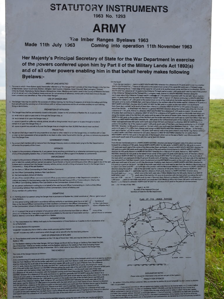
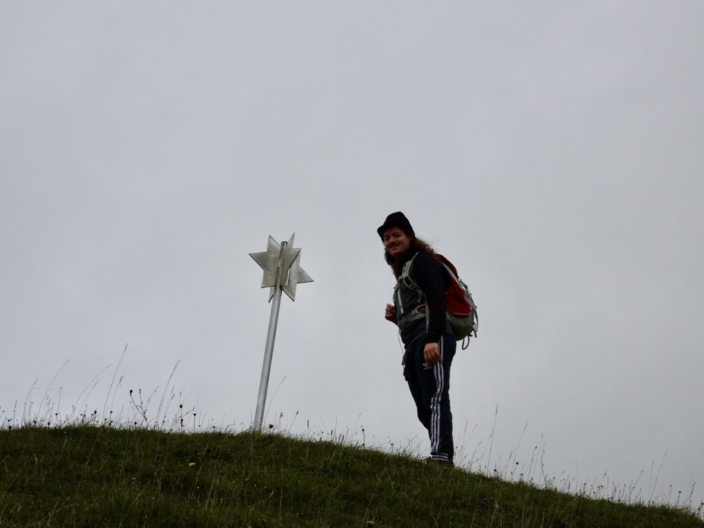
I noticed markers for ‘The Imber Range Perimeter Path’. Not a route I’d heard of before, so I did a bit of digging. For those not familiar with Salisbury Plain, it is still a very large and active army training area, with live firing of large and small weapons, armoured vehicles and support aircraft. Imber was a village that was requisitioned by the army in WW1 and remains closed off except for one weekend a year. In addition to Imber, the army built a ‘German Village‘ on the range so that troops could practice urban warfare in a setting that they believed would be appropriate if the Russians attacked Europe. (Whilst this seemed very outdated a few years ago, it looks frighteningly relevant today)
The Imber Range Perimeter Path is 48Km – 30 miles – long and runs on a ridge around the edge of the live firing area. It offers some of the very best views of this outstandingly beautiful area of downland and the surrounding countryside, combined with a unique opportunity to be up close to an active army training ground.
The path neatly falls into two parts between Warminster and Tilshead, with one half around the northern rim and the other around the southern. If you are doing it in two parts, as we have done, then there are a couple of options depending on what vehicles you have available (more detail at the end)
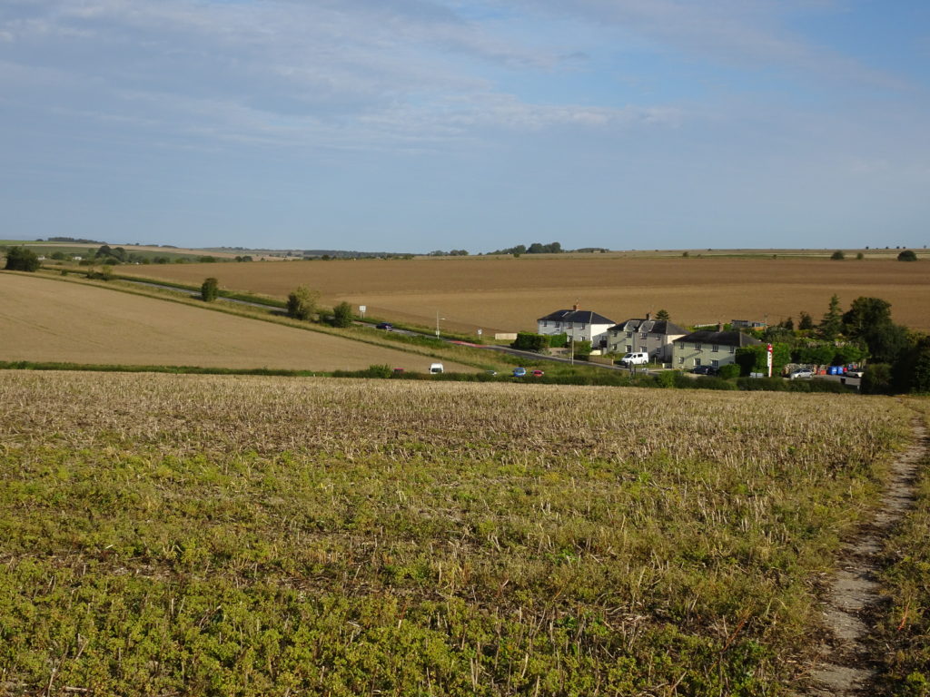
The first time, we did the section from Tilshead to Warminster. We found the start slightly confusing as the layout of the route around Tilshead has been changed – for the better – so we found ourselves about 500m off track (the OS app has the latest path layout – follow this and you will be fine). It was easy to see a trackway that would take us to the route we wanted and, were about to set off towards it, when a squad of camouflaged soldiers appeared on the hillside next to the track and a major ‘firefight’ broke out. An excellent reminder if we needed one that the signs saying ‘Live Firing Range Keep Out’ are spot on.
It’s very strange to be walking through this beautiful downland and then come across sets of tank tracks. In other places it appeared that a large fighting machine had been doing ‘doughnuts’ – now that would be great to see! I know this looks destructive however the vast amount of the downland is untouched and supports an amazing range of plant, insect, bird and animal life.
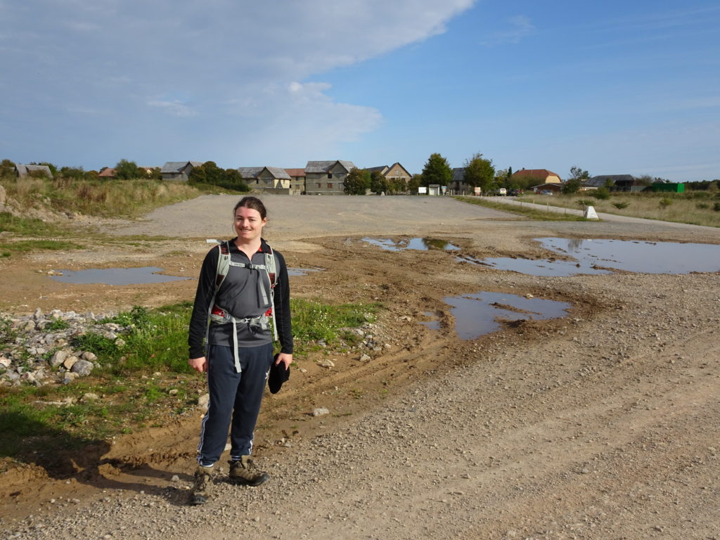
What was lovely on this walk were the skylarks -one of my favourite birds. Right from the start, the larks were leaping up into the sky with their beautiful and uplifting liquid trill. Even on a grey, cold and windy day, their energy and beauty is uplifting for the spirits.
As we approached the German Village, so did an army ‘patrol’. But as we passed all firing stopped and for a time it was almost impossible to see them as their camouflage was so good.
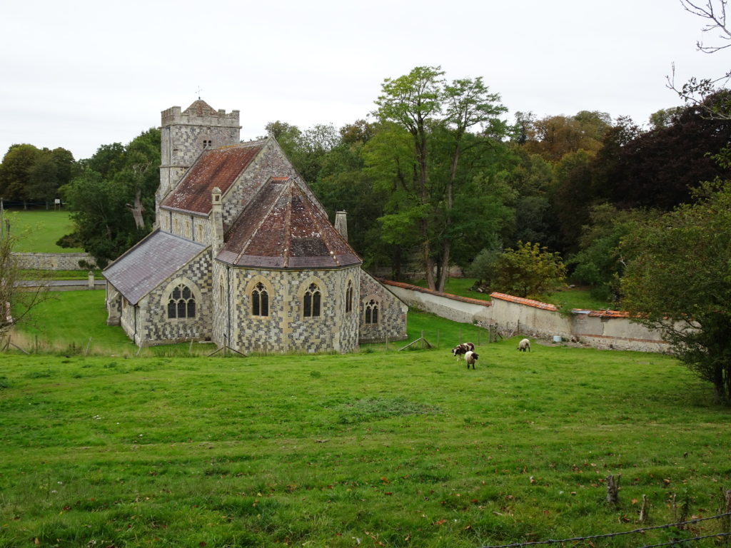
After a steady pull up from Tilshead, you drop down into Chitterne and pass a beautiful church built in the classic Wiltshire style. The online OS map app has the new route that avoids walking on the main road however, do keep an eye out for the signs if you are using an older map.
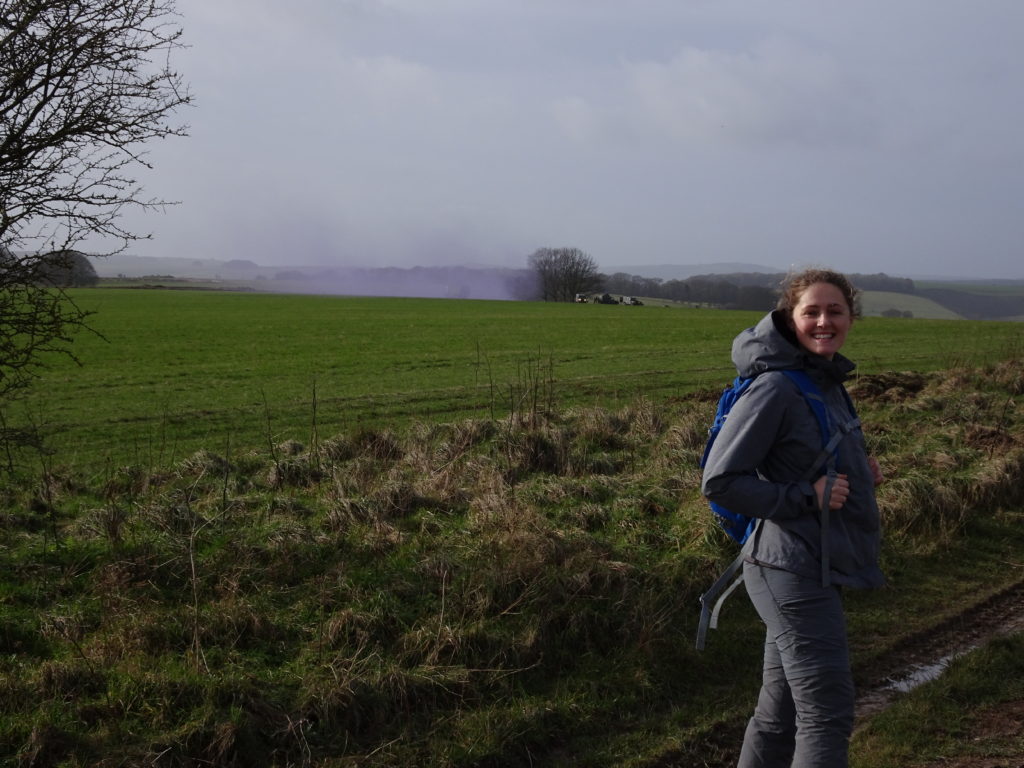
After another pull up out of Chitterne to the wonderfully named ‘Breakheart Hill’, you start to get onto the hills above Heytesbury. Here we encountered another army group where, after a spectacular burst of purple smoke, another firefight erupted. Great entertainment for us walkers.
After dropping down towards the A36 near Haytesbury, you then progress up towards Cotley Hill. This is the route of the original run that sparked my curiosity about this path.
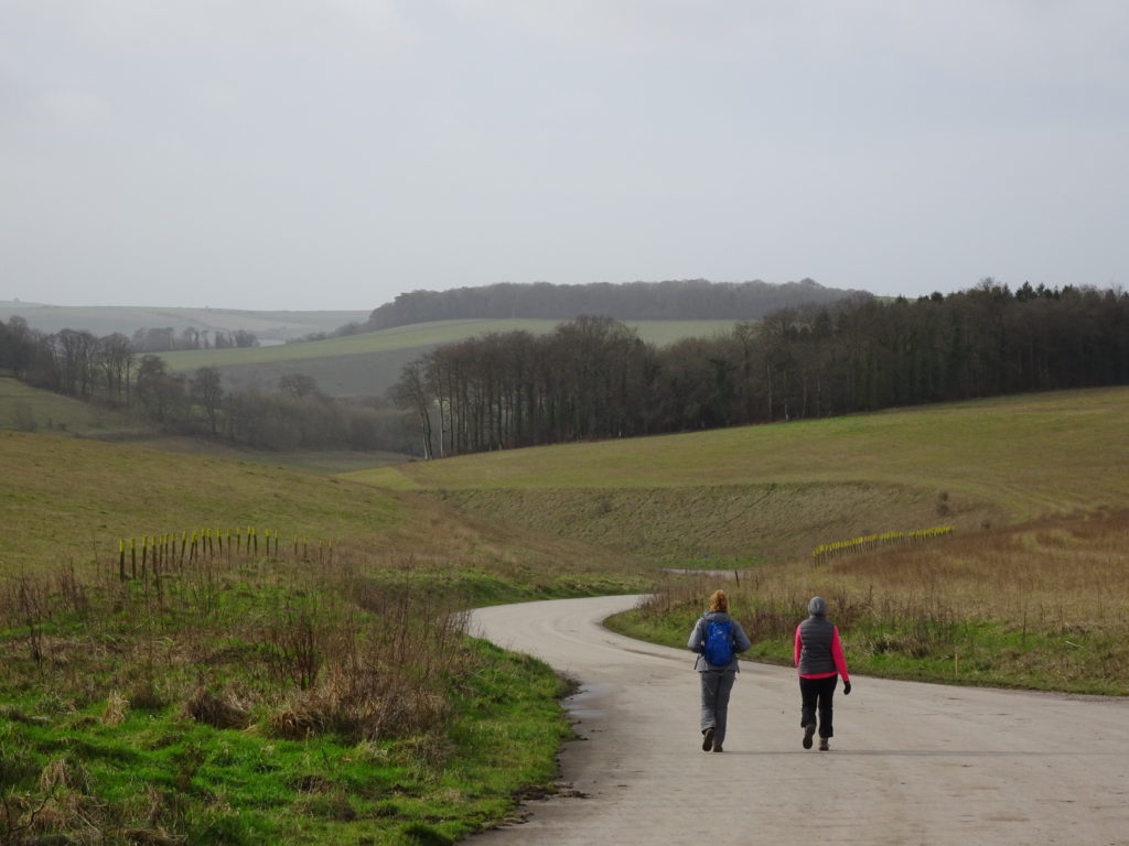
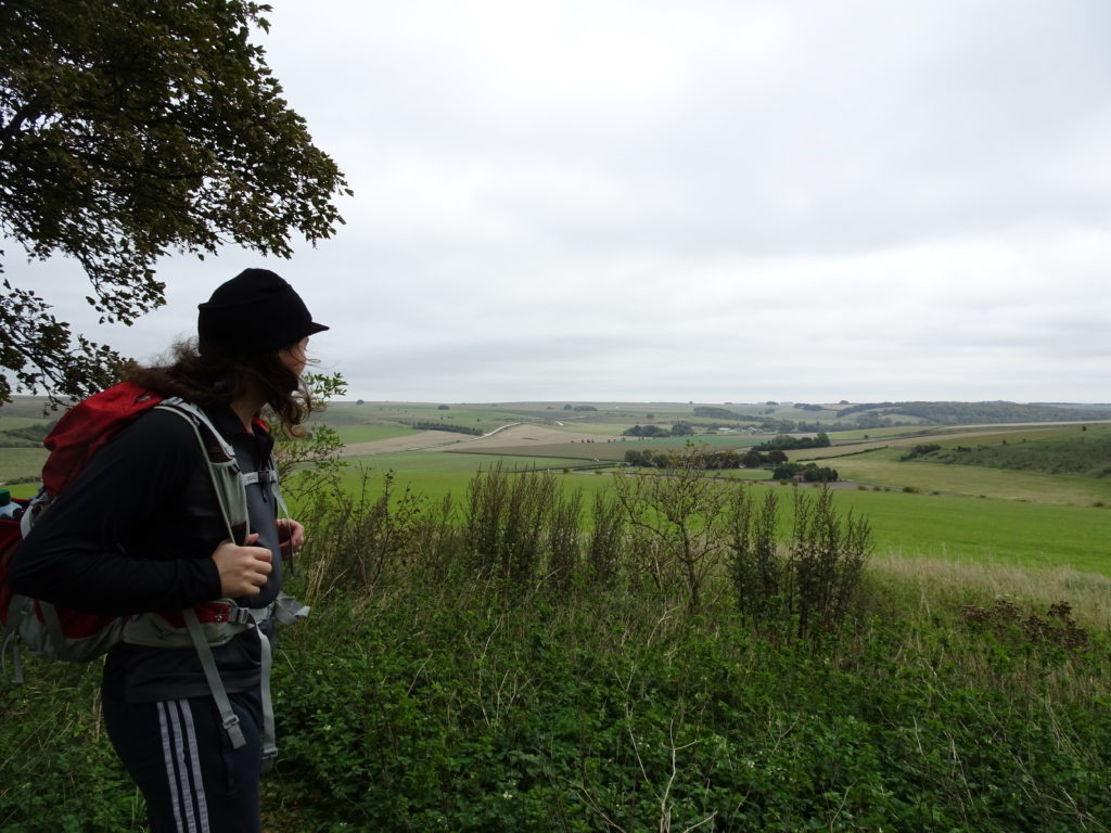
Once you follow the path through the hanging beech wood, you are onto a glorious stretch of downland ridge that runs over a variety of iron age earthworks at Scratchbury Hill, Middle Hill and Battlesbury Hill. The views on both sides are glorious – to the east is the training range and to the west, you can see Longleat, Cley Hill and in the distance the Mendips.
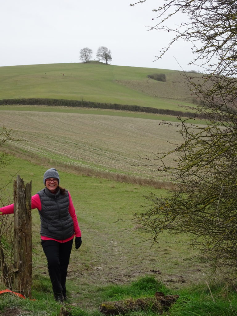
You finally drop down into Warminster and the big Waterloo Lines army camp.
This is a really good place to break the walk as it’s 23.3km from Tilshead to Warminster Station going by the Southern route and then 26.2km from Warminster Station back to Tilshead by the Northern one.
Much of the northern section shares the route of the Wessex Ridgeway and The White Horse Trail and for the most part is on excellent gravel or surfaced roads.
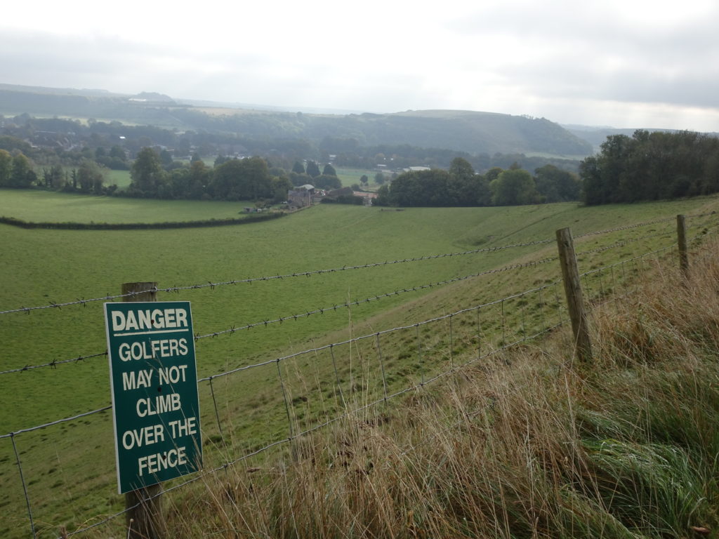
The first part of the northern section climbs up by the golf course and then cuts across a valley with a big dip down and pull up onto the northern ridge. From here you walk with spectacular views to your left over the valley towards Westbury, Trowbridge and Melksham and to your right over the empty downland and farms of the Imber range.
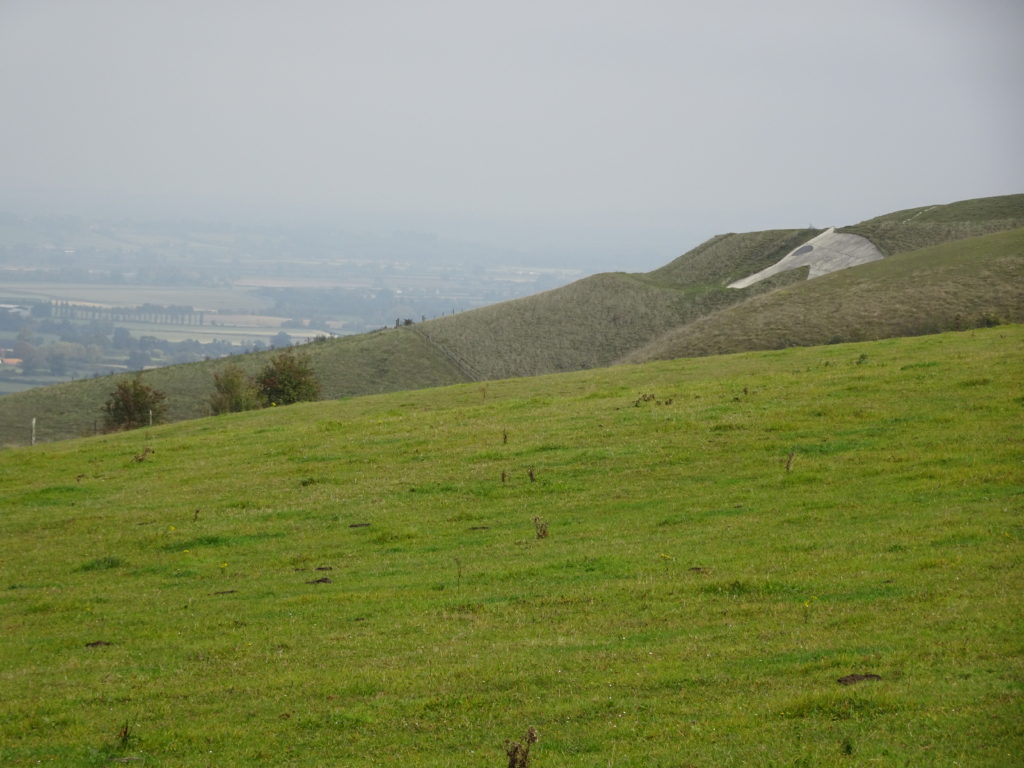
Above Westbury you cut over the top of the famous Bratton White Horse – supposedly cut into the hillside to commemorate King Alfred’s resounding victory over the Vikings at the Battle of Ethandun in 878AD, which is probably the reason we are not all speaking Danish today.
As we passed over Littleton Down near New Zealand Farm Camp, we had another fascinating encounter with the Army. Here a group, whose dress style could best be described as ‘alternative insurgent’, swept by in what looked to be ‘Technicals’ from Mogadishu: not your usual Salisbury Plain style of vehicle.
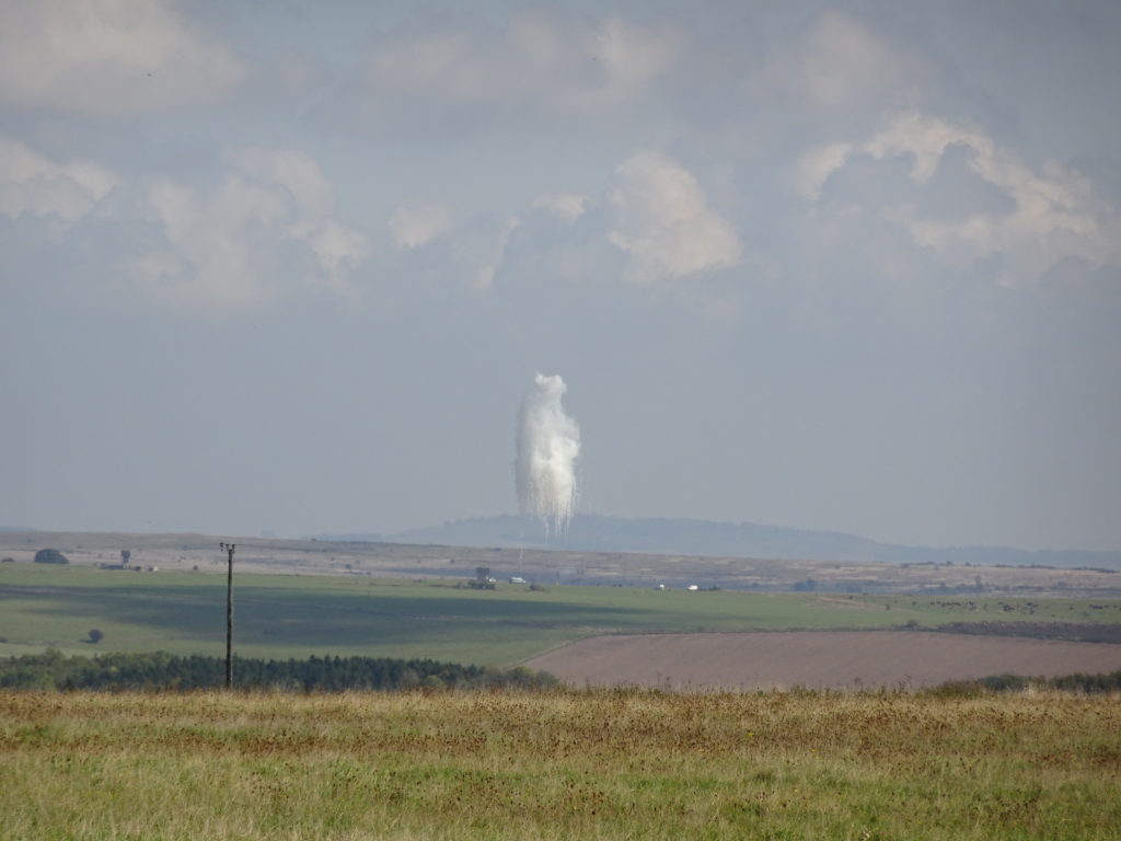
From this point you are dropping down towards the A360 which runs between West Lavington and Tilshead. The wide open views ahead are over the impact zone of the Westdown Artillery Range. We had a beautiful warm September day so stopped for lunch and enjoyed the beautiful countryside views – augmented by a series of spectacular airbursts which appeared to be part of an artillery testing program. Never a dull moment on this walk.
The final stretch of the route runs parallel to the A360, crossing the trans-plain military road before looping back into Tilshead and the car parking.
For those looking for refreshment at this end of the walk, the Rose and Crown is a short distance away on the High Street in the centre of the village. I’ve always liked their slightly cheeky sign – a picture of William and Kate.
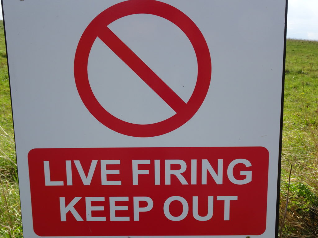
There is a lot of military activity along this route. From my experience, all our encounters with the soldiers have been incredibly friendly, courteous and professional. You are on the edge of an active range so although you do not have restricted access to the path, you are expected to stay outside of the warning signs even if the going seems to be better a few yards away on the other side of them. If the range is live, you will be politely yet firmly asked to stay on the path! There is no doubt that this activity adds an interesting element to the walk – and for most of the time you are in glorious isolation.
There was a lot of rain before we walked the first time and the going was actually pretty good on the first leg, where there is less made-up track. After a dry spell it’s excellent, so I think it would be worth picking your time. Late spring is particularly good as the wildflowers and hedges are blooming.
The walk is pretty exposed as it is effectively around a ridgeline. If it’s windy, you will feel it all the way, so do take windproof jackets. And in the sun, take water and a hat as it can be very hot and dry.
Because it’s MOD land, there are actually a good range of resources about the walk. There is a Government website which has a number of maps and gives a schedule of live firing. It’s a named route on the OS map systems.
In addition, it’s one of the routes covered by the wonderful Nick Hill Maps: These were an amazing find for me. Huge detail on the route and underfoot conditions – and even the phone numbers for pubs!
Logistics:
We have done it with two cars: parking one at Warminster by the Waterloo Lines camp (Imber Road) and then taking the other to car Tilshead and walking back to Warminster by the southern loop, then driving back to pick up the Tilshead car. (from the parking indicated, if you walk up West End and take the path across the field ahead, you intersect the Range Path within a few hundred meters – head left for the southern loop). You can do the reverse for the northern loop.
We also did it with one car by parking at Tilshead and walking to Warminster station, which is only just off the pathway. We took a train to Salisbury and then returned by train the next day and walked the second half back to the car at Tilshead. Buses do run through Tilshead so that provides a no-car option.
