Our first grandchild was born in Singapore in July 2020, right in the middle of the Covid pandemic. Sadly we could not travel to be there so it was with great excitement that we went out to Singapore for a couple of months for the arrival of grandchild No 2 in March 2022.
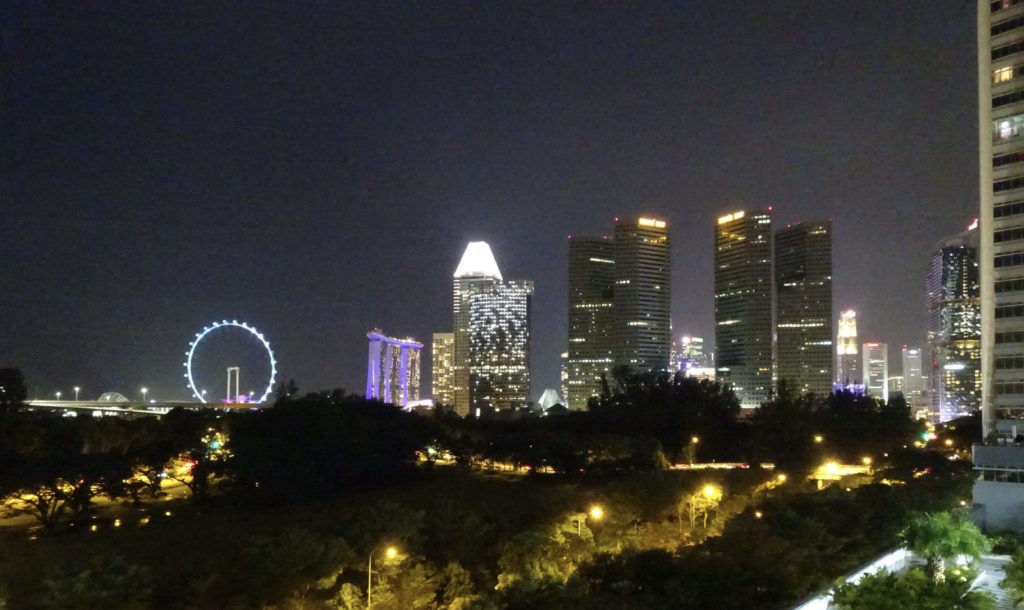
My memories of Singapore go back to the turn of the millennium when we were living in Kuala Lumpur and I looked after one of our offices in Singapore (it’s a 1hr air shuttle journey between the two). We used to refer to it as ‘Asia for beginners’ as it was so hygienic and organised compared to the hectic bustle and noise of KL.
My view was somewhat updated in 2018 when we visited our daughter soon after she and her husband had moved there. She’d explored the wet markets and hawker food centres and introduced us to a much more gritty and exciting side of life there.
Being based in the city-state for a couple of months, I was keen to keep active and so avoided taxis and the MRT in favour of walking. I got a great feel for the city, its green spaces and amazing fern covered trees that line the streets, but I missed walking in the countryside. Talking this through with my son-in-law, he mentioned a walking route called the Green Corridor – or Rail Corridor: an old railway line that runs 24km from the north coast near Woodlands to the south coast near the Kepple Container Port and bridge to Sentosa.
The names Green and Rail Corridor seem to be used interchangeably: the Government Website calls it Rail, supporter websites and google maps have Green. Whichever you chose to call it, it’s a gem of a place, stepping away from the intense city into a beautiful sliver of jungle running through one of the most densely populated countries in the world.
The development of this route is still work in progress (as of April 2022) and is partly linked to the Murnane Pipeline Project, a major water project that runs under part of the Corridor. The official guide was not that good on directions etc however, there are some online resources with various maps and guides. Having said that, once you are on the route, it’s mostly easy to follow until the last section.
One of the great aspects of it is that it is accessible from the bus and MRT network at a number of points on the route which allows you to walk it in reasonable chunks – or multiples thereof (the first two starting from the south at about 7km. The last section was 11km by the time I’d walked right up beyond the official endpoint). Also, because it was a railway line, its well-drained, has smooth gradients (not that Singapore does hills) and there are no road crossings other than on the development diversions. So the going is good even if there has been heavy rain and you can keep up a steady pace.
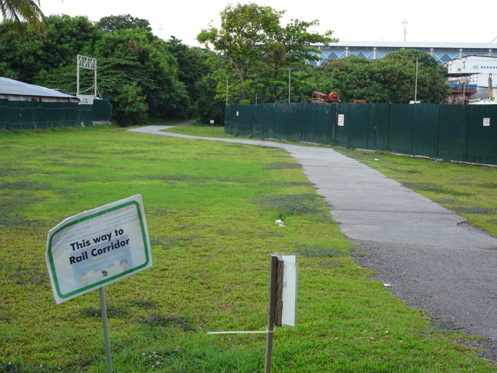
To get to the southern start point I took a 30 min bus journey from the Novena district, through the city centra to a stop – Melati Blk 2 – a couple of hundred meters from the route (166 bus). Once off the bus, you walk back down the road and take the first right down Spooner Road. A few hundred meters down there are a couple of rather tatty signs pointing the way to Rail Corridor. (Don’t let this fool you, the rest of the path’s development is well up to Singapore’s exacting standards). Follow this pathway and you will shortly arrive at the main pathway. Turn right onto it and you are on your way to the North Coast.
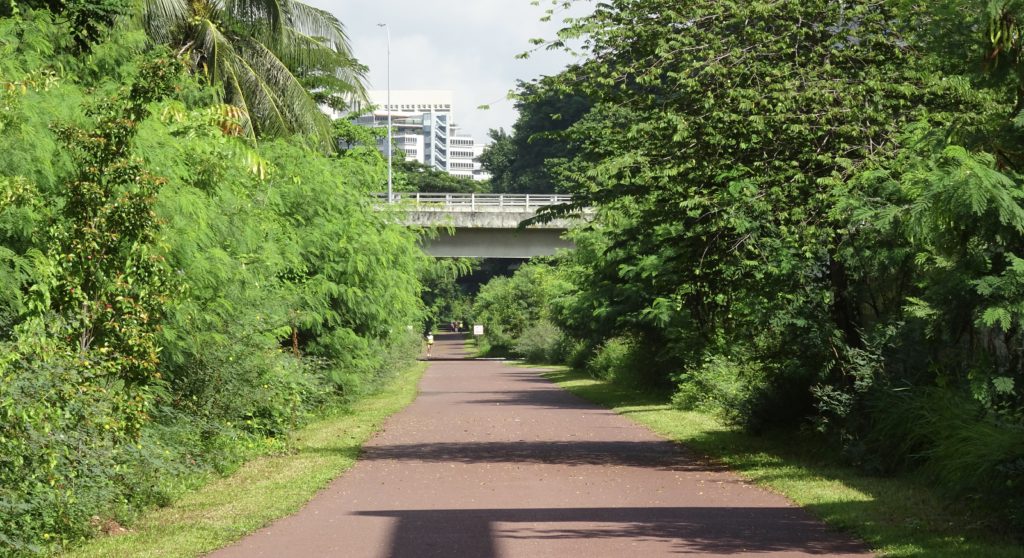
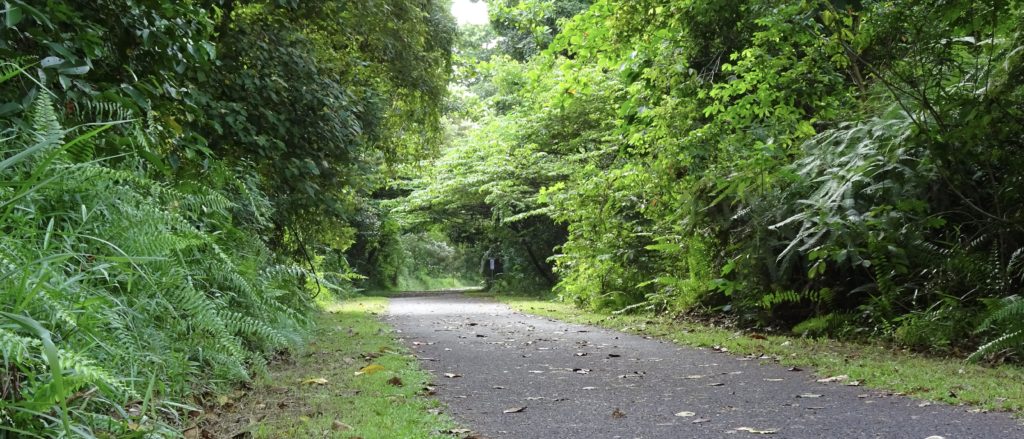
The first 7km are very well developed with the pathway wide and well surfaced. There are walkers, runners and cyclists – but if you avoid weekends, you can still find yourself on your own for long stretches. You know you are in the city as there are expressways close by and tall buildings above the trees however, the jungle and stunning trees screen you from it, jungle fowl (from which our chickens come!) scrabble on the path and the odd monitor lizard strolls out of the undergrowth, so you feel a big step removed from the streets.
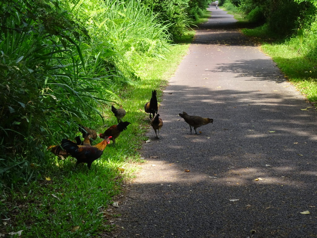
In the second half of this section, the path goes through a more residential / parkland setting and so it is much more calm and peaceful.
Some 4km in, there is a water fountain on the wall of a temple. Do top up your bottle as this is the only water on the whole route.
The first good break point comes at Buona Vista where you can easily access the MRT Circle and East West lines. Just before you get there, you pass under some new road bridges and there is a fancy development being built on your right. Then, just before you get to a bridge/tunnel, there are steppingstones across a bit of boggy ground off to your left. Follow these and up some steps and you will come out close to the bus stops and MRT station. There is also an overground station.
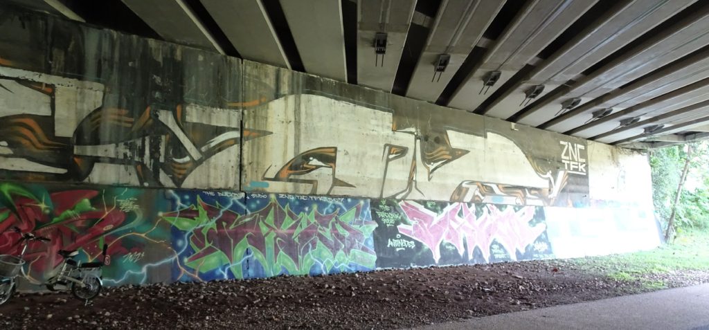
Heading on. For me, the next 7km is one of the most attractive of the route. You start by going under a bridge where Singapore’s graffiti artists, suppressed in so many other places, have been given free rein to express themselves. Then the first half of this stretch runs through more quiet residential areas and then into some beautiful jungle in Clementi Forest.
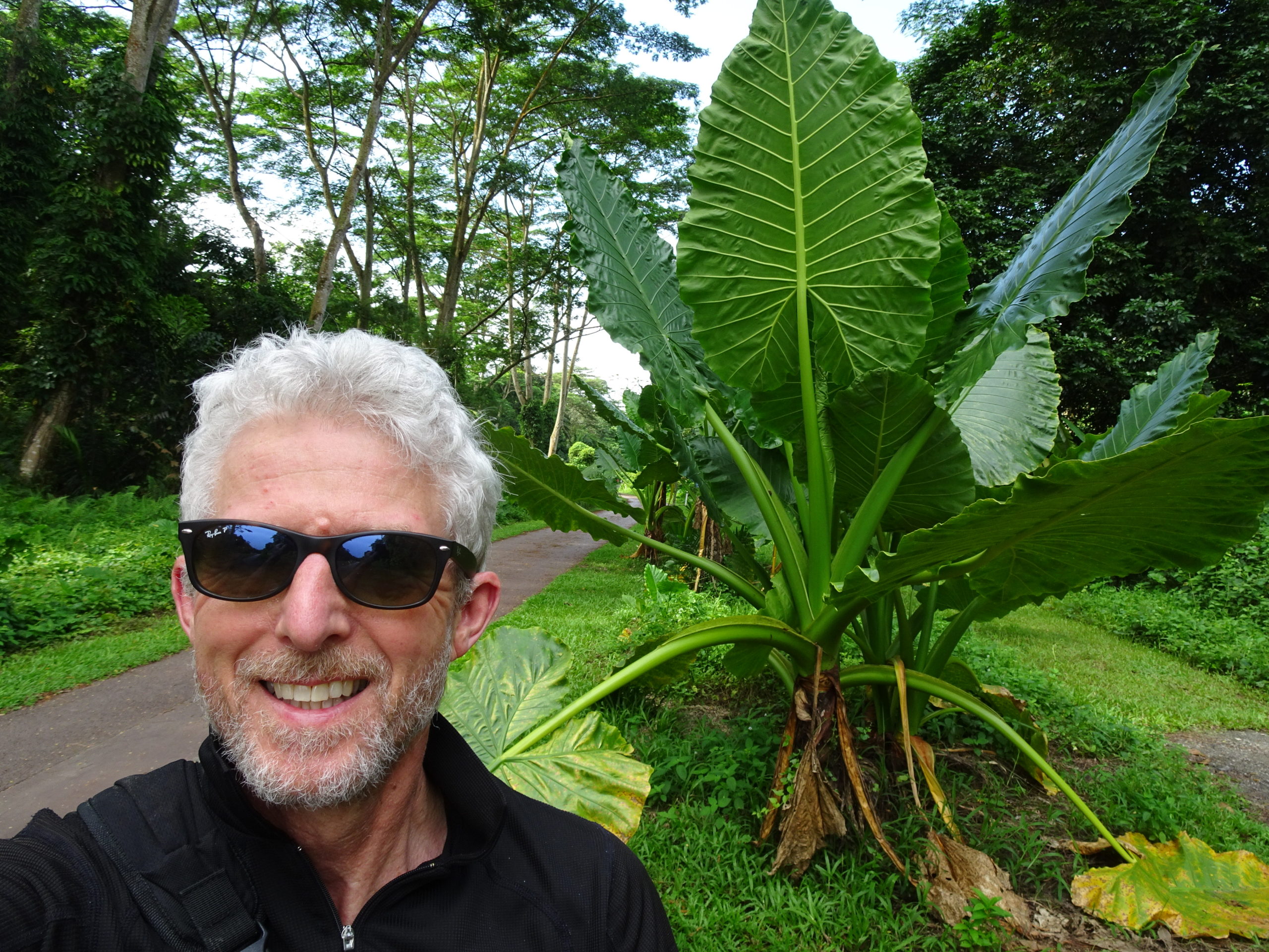
There are some lovely open views and then at one point you pass through the old Bukit Timah station – which is being re-built as a waypoint – and then you cross the original bridge over the Bukit Timah Road.
In a short time, the path becomes a gravel surface and runs through the Bukit Timah Nature Reserve, and you start to feel very remote and the dominant sound is cicadas and birds. This section finally ends at another bridge – back over the Bukit Timah Road. The path is blocked at the far end of the bridge and signs take you off to the right before it.
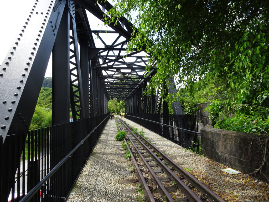
The next section is work in progress for the development team so you have to come off the rail route however, there is a strategically placed row of cafes where you can grab a much-needed iced coffee and toilet break.
A short walk up the main road – which is part of the ‘diversion route’ – there is a footbridge that takes you over Bukit Timah Road and then you are at Hillview MRT station on the Downtown line. Another good break point for either a 7km or 14km walk.
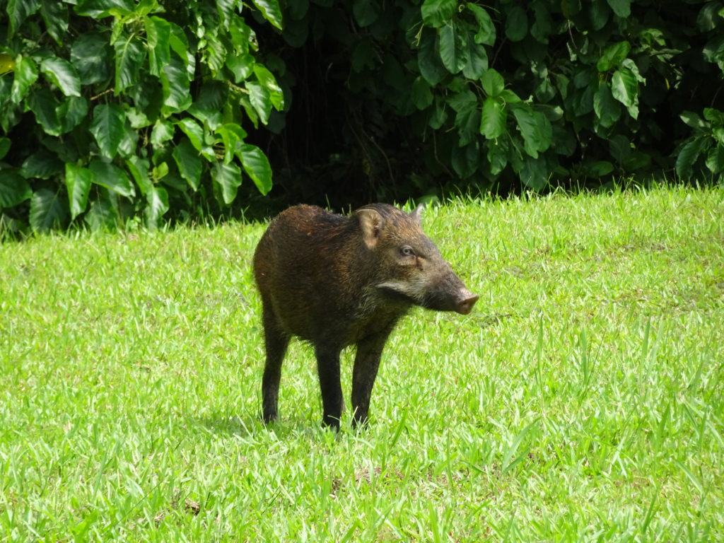
It was just by Hillview station that I encountered this wild boar – such an un-Singapore-like experience.
Heading on, the next few kilometres are the least attractive of the route at the moment. Clearly the rail route is being heavily worked on (you can see this from where you are walking on the diversion route) and should be finished in the next year or so, but for now, you walk on the footpath beside a busy road from the Hillview MRT to the Bukit Panjang MRT (also Downtown line). It’s a well-designed footpath, but still close to the traffic.
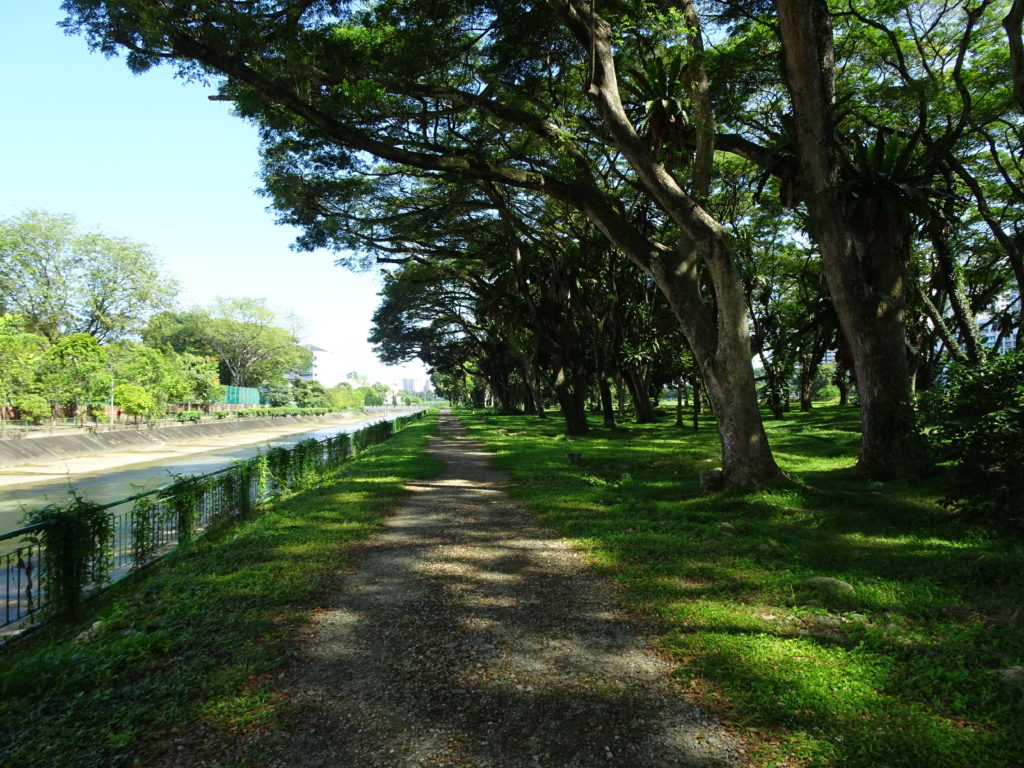
After passing the station, I took a pathway to the left, through a car /coach park to a trackway that ran alongside the river through Pang Sua park and then on through a section of tall reeds. (you cross a fancy cycle path which follows the river – don’t take this) Although you feel you are free-styling things a bit, you come across the rail development works from time to time and the path is good.
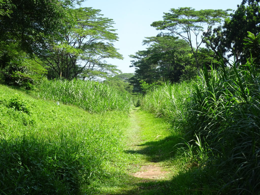
You definitely getting more remote and occasionally you get views of old rundown factory buildings – a very different side to Singapore from the bright clean shiny skyscrapers of the financial centre.
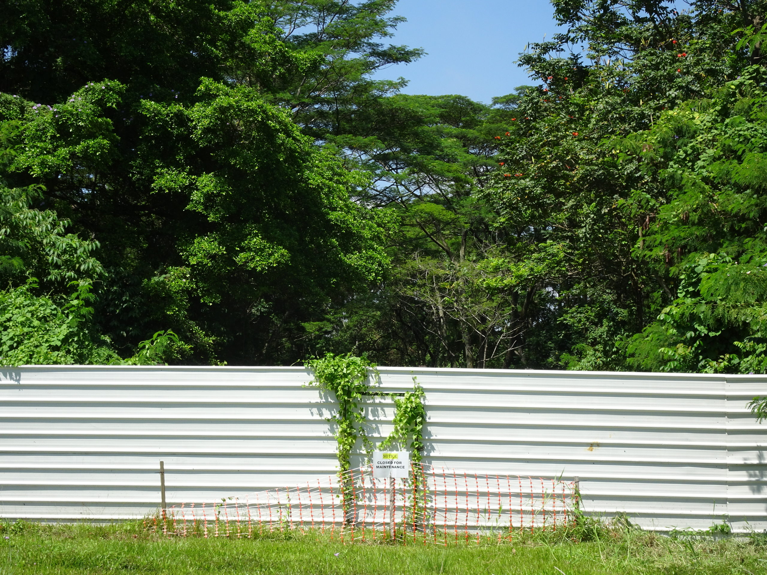
Finally, you arrive at a point where the MRT passed high above the pathway and there is a white metal sheet barrier just across the path. In a rather Narnia like fashion there is a doorway cut in the middle. There is also a clear path turning off right under the MRT (If you follow this pathway, you get to a road junction – cross it and head up Woodlands Avenue to the Kranji MRT).
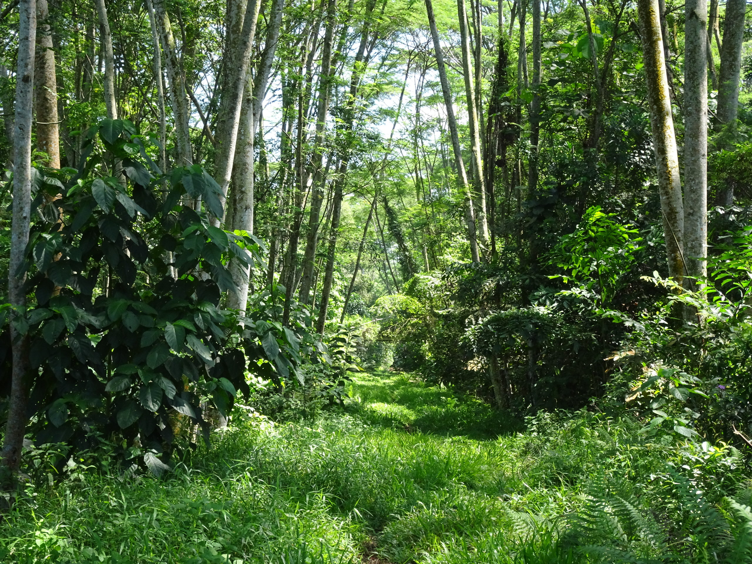
I seemed to remember from one guide that you could go beyond the barrier, so I set off through.
This is an amazing stretch of the route. The jungle is really encroaching over the path and it can get pretty wet underfoot. It feels truly remote here – and you hope your bug-spray is up for it. This is so far away from the city that you think you have stepped into a different country. Finally, you reach another barrier and, squeezing around the side, you find yourself at a busy junction on an industrial estate: quite a blunt transition! (this picture is looking back at the final barrier)
This is the end of the official route as it is today. With your back to the barrier, cross the main road and head right down Kranji Road, past the water reclamation plant, then left onto Woodland Avenue and you will reach Kranji MRT station (North South Line).
If you did turn the other way up Kranji Road, in 750m you would be at the sea opposite Malaysia! You have truly walked coast to coast.
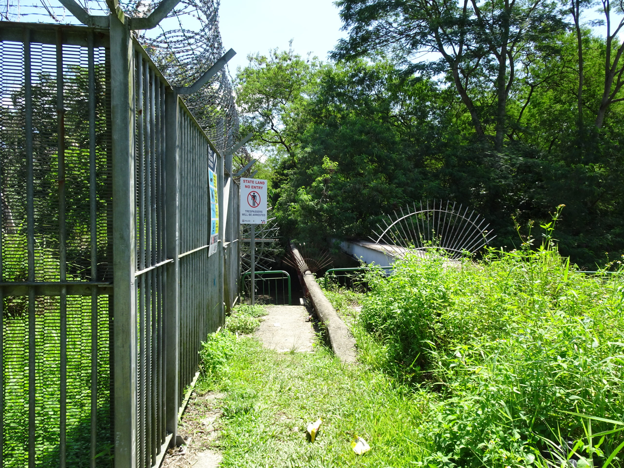
Having enjoyed that last stretch so much, I headed directly across the junction from the white barrier onto another stretch of jungle path. On the right, through the trees, you can see one of the dormitory blocks for migrant construction workers and, after a couple of kilometres, I finally ended up at some serious wire fences and a ‘f***off’ sign.
Looking at my phone maps, it looked like, if I turned right on a pathway by a river, there was a bridge across to the main road that would take me to Woodlands. There is, and there is clearly normally access to it however, due to the dormitories being quarantined for Covid, there was a security block on the bridge. Retracing my steps, I finally managed to squeeze through a couple of fences and ended up in the back of an industrial estate and walked to Kranji MRT station.
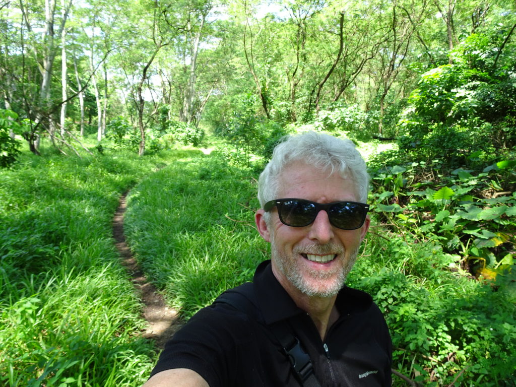
Looking at a couple of guides afterwards I realised I had gone beyond the end of the official pathway. But it’s quite fun and worth seeing if you can get through again now things are opening up. If the path to the bridge is still blocked, I’d head back down the jungle path you have come on as the fence squeezing / industrial estate route is a bit tortuous and gets you back to the same junction by the white barrier anyway.
Overall, the first 14k is definitely a great walk and the last 7km is a bit of an adventure – it’s just the diversion in between that is uninspiring at the moment. It may not seem long and gradients are easy but don’t underestimate the heat. 36c, humid and in the sun: you get through a lot of water. With only the one easy water access point at km4 – a water fountain outside the temple – you need to make sure you have taken a good supply with you: consider isotonic as well. I took a backpack as a handheld bottle is just not enough. I walked the whole way in trainers and, although they got wet and muddy at the end, they were certainly the right shoes for the walk. This may be in the city but it is the jungle, particularly at the top end, so it’s worth having bug repellent spray and patches. Oh, and an umbrella – if you get caught in a warm tropical downpour you’ll come to no harm but it’s frowned on to arrive dripping wet on the Singapore MRT!
